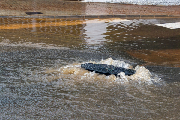
Over the weekend, a powerful nor’easter battered parts of the Mid-Atlantic and Northeast regions with strong winds, coastal flooding and heavy rainfall. As the storm slowly loses wind intensity and moves away from the area through Monday night, conditions are expected to gradually improve.
As AccuWeather reports, the storm first moved onshore near Barnegat Light, New Jersey, Sunday morning, where the sun peeked through a break in the extensive cloud shield.
What is a Nor’easter?
You’ve probably heard the term nor’easter in movies and on television, but what exactly does it mean? According to NOAA’s National Environmental Satellite Data and Information Service (NESDIS), a nor’easter is a type of storm that forms along the East Coast of North America. Nor’easters are named after the direction from which the strongest winds typically blow over the northeast states, including New England and the Mid-Atlantic states. The storms can bring wind, snow, rain and flooding to these regions.
Nor’easters begin to form within 100 miles of the coast that stretches between New Jersey and Georgia. This area is a perfect spot for the formation of storms. The polar jet stream blows cold air southward out of Canada and eastward toward the ocean. The Atlantic Ocean is warm, thanks to the Gulf Stream–a warm ocean current.
Where the cold air and warm water meet, a low pressure system forms. The low pressure system causes clouds to form and a storm to develop.
Coastal flooding
Sunday morning’s high tide delivered the worst coastal flooding for much of New Jersey and New York as strong onshore winds inundated low-lying coastal areas with several feet of water, prompting water rescues. East-facing shorelines were hit the hardest with several roads and homes flooded.
“This storm may be remembered for its destructive coastal flooding and severe beach erosion, especially along eastern Long Island and the coast of eastern Massachusetts,” AccuWeather Chief Meteorologist Jon Porter said.
While winds are expected to remain onshore for much of Sunday and Sunday night, an incoming low tide and diminishing winds indicate that the worst of the coastal flooding has already occurred. “There are still a couple more high tide cycles into Monday, and there will continue to be back bay flooding from the central New Jersey coast south through coastal Maryland,” AccuWeather Senior Meteorologist Brett Anderson said. “The good news is that each successive high tide will have lower water levels than the previous.”
Damaging Winds Knock Out Power to 200K
As of Sunday afternoon, over 200,000 customers were without power in Virginia, New York, New Jersey, Connecticut, Pennsylvania, Massachusetts and Rhode Island. Additional power outages are possible as gusty winds continue across the region for much of Sunday.
As expected, the strongest winds Sunday morning occurred across coastal New Jersey and Long Island. The highest wind gusts observed during the storm through Sunday morning was 74 miles per hour in Surf City, New Jersey, on Friday night.
“Winds will be mostly offshore from the New York City area by Monday with gusts generally under 30 mph. The strongest winds will be along the north shore of Massachusetts and up into coastal New Hampshire, with gusts between 30-40 mph,” Anderson added.
Heavy rainfall
Rain diminished across much of the mid-Atlantic late Sunday morning, but another round of heavier rain was expected to move onshore late Sunday afternoon into early Monday morning from Long Island to Maine. Renewed flooding is expected in some areas that have already received heavy rainfall.
Total rainfall from the storm of 1-2 inches was expected from the Delmarva Peninsula to central Maine, with 2-4 inches expected from southern Delaware through New York City and much of Connecticut to far southern Maine. A corridor of 4-8 inches was expected along the Northeast coast from Atlantic City, New Jersey, to Boston as heavier bands move onshore.
Cleanup forecast
Conditions are expected to improve significantly by midday Monday with most wind and coastal flooding impacts ending. Residual flooding along the immediate coast will still be possible, especially where water is slow to drain. Weaker offshore winds are expected to limit additional coastal flooding impacts.
Lingering showers are expected from New Jersey north across much of New England, but widespread flooding is not expected. Conditions are expected to dry out from south to north, with locations like Philadelphia and New York City becoming dry by around sunset Monday.
—
Photo Credit: Fernando Astasio Avila / Shutterstock.com
