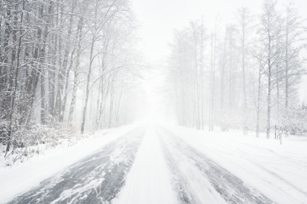
All the winter weather ingredients are coming together for the season’s first major snowstorm across the northern Rockies, northern Plains and parts of the Pacific Northwest beginning Tuesday, potentially creating travel delays across the region’s mountain passes.
“A cold front brushing over Canada right now drags down the chilly air,” FOX Weather meteorologist Amy Freeze said. “And there’s also a storm strong enough for the season’s first major snow across the northern Rockies.”
As Fox Weather reports, Winter Storm Warnings, Winter Storm Watches and Winter Weather Advisories are in place through Thursday for parts of Washington, Oregon, Idaho, Montana, Wyoming and North Dakota, where several inches of snow will likely coat the ground.
The National Weather Service warns there is a high chance for more than 8 inches of snow, with locally 1 to 2 feet likely, in the higher terrain of the Cascades and portions of the Rockies as far south as Wyoming through much of the week.
The storm begins Tuesday in the Pacific Northwest and into northern Montana as a storm system drops south out of Alberta, Canada.
Between 8 and 12 inches of snow is forecast along Interstate 90’s Snoqualmie Pass in Washington, with most falling on Tuesday and Wednesday. Stevens Pass is forecast to receive between 16 and 24 inches through Thursday.
It’ll just be a cold rain in the coastal lowlands of western Washington and Oregon, but rainfall totals through the week could reach 2 inches, with highs only in the 40s around Seattle.
Meanwhile, multiple waves of heavy snow will then stretch across Montana and into North Dakota from Tuesday night into Friday, with snowfall rates reaching 1 inch per hour, the NWS said. Accumulations could reach more than 8 inches where these heavier snow bands occur.
The National Weather Service in Great Falls, Montana, has issued a Winter Storm Warning for Tuesday and Wednesday for central, north-central and southwestern Montana, including Fort Benton, Great Falls, West Yellowstone and Big Sky, where 5 to 13 inches of snow is expected.
Higher elevations in Montana, including the Crazy Mountains, could see between 10 and 20 inches of snow. Showdown, Montana, will see most of its snowfall from Wednesday into Thursday.
Later this week, the snow will continue to spread east, dropping the first accumulations of the season in North Dakota and northwestern Minnesota. A Winter Storm Watch is already posted for western and northern North Dakota.
In the wake of the first snow comes a blast of arctic air to send temperatures plummeting.
Temperatures will drop into the single digits by midweek for Bozeman and Billings in Montana and into the teens for the Dakotas by this weekend.
With the single-digit wind chills, places like Bismarck, North Dakota, will be bitterly cold.
It’s possible the snow cover could be sticking around through Halloween weekend, with temperatures remaining below freezing across the region into next week.
—
Photo Credit: Alex Stemmers / Shutterstock.com
