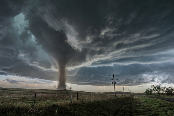
The Ides of March weather are coming. The month of March typically denotes an upswing in severe weather, especially across the Southern states, and 2025 is no exception.
Meteorologists are issuing warnings that the combination of warm and moist air, combined with a new generation of storms forecast to move in from the Pacific, will increase the potential for severe weather over the south-central United States next week.
As AccuWeather reports, the same storm forecast to produce patchy clouds and spotty shower activity over the Southwest to the end of the week and into this weekend will push on to the southern Plains later this weekend and then toward the lower Mississippi Valley early next week.
How much strength and moisture the storm can gather after it crosses the Rockies will determine the scope of the uptick in thunderstorm activity from Texas and Oklahoma to Arkansas, Louisiana, Mississippi, Alabama, Tennessee, Florida, Georgia and the Carolinas.
At this point, there will likely be some robust thunderstorms with a storm tracking in this manner, which will tap into moist air from the Gulf and travel across the lingering warm air in the Southern states.
All modes of severe weather may be possible ranging from strong wind gusts and hail to flash flooding and perhaps a few tornadoes. The exact track of the storm will determine the area that may be the most prone to severe weather.
As the thunderstorms ramp up and approach the major airport hubs in the South Central states, ground stops will lead to airline delays. At the very least, sporadic power outages are possible in the stronger storms.
—
Photo Credit: Cammie Czuchnicki / Shutterstock.com
