While much of the eastern United States has been frozen by rounds of Arctic air and snow, the western region has been experiencing weeks of unseasonable warmth, leaving many mountain ranges in a major snow drought.
However, as Fox Weather reports, a significant change in the weather pattern will flip the script by mid-month, as a shift in the jet stream will open the door for numerous storms to bring snow and rain to the West Coast and Rockies. Additionally, this shift in the jet stream will shield the East from the worst of the polar vortex, which will retreat farther north than earlier projections.
The Polar Vortex
The term “Polar Vortex” refers to a band of strong winds that circles the North Pole from around 55 degrees north latitude (the latitude of Ketchikan, Alaska) about 10-30 miles above the Earth.
Why do those winds matter? Think of a spinning top: As long as the rotation is constant and stable, the top stays spinning in a nearly fixed pattern. When the polar vortex is stable, the spinning winds circling the pole act like a wall that keeps the arctic air bottled up atop the planet. In that situation, the midlatitude areas, including much of the U.S., will typically avoid severe cold conditions.
About every other year, however, weather events in the lower atmosphere will send strong atmospheric waves up into the stratosphere, where they can interact with the polar vortex. Going back to the top analogy, this knocks our spinning top off its axis, causing it to lose speed and severely wobble or even topple over. In the atmosphere, disrupting the polar vortex will cause it to slow down and wobble, allowing the collapse of the protective wall around all that frigid air.
As cold air heads south toward southern Canada and the U.S., milder air can rush into the polar regions now that the protective wall is gone. If you ever hear the term “sudden stratospheric warming” start getting tossed around, it’s a signal that the polar vortex has been disrupted, and the weather will start getting interesting across the midlatitudes in the days and weeks ahead.
The Vortex was Displaced, Cold Air Parked over Eastern U.S.
The core of the polar vortex contains some of the coldest air on the planet and typically sits over the North and South Poles. But by late December, the polar vortex was displaced, with a lobe of that cold air parked over Canada. This opened a freezer door over the eastern U.S. that allowed waves of Arctic air to spill south.
Simultaneously, the Pacific-North American jet stream — the steering mechanism for most of the storms over the country — dipped sharply over the East, allowing those storms to tap into the Arctic air. This has produced weeks of bone-chilling cold and snow, including January’s deadly and historic cross-country winter storm, responsible for killing over 80 people and impacting millions across the nation.
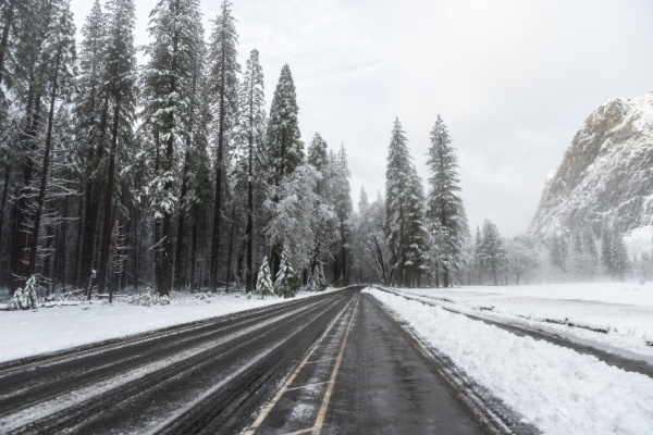
Dry, Warm Conditions in the West Causing a Snow Drought
Meanwhile, that same jet stream pattern has locked in a ridge of high pressure leading to weeks of dry and warm conditions over the Mountain West and West Coast. High temperatures have been 15–20 degrees above average, even reaching record highs for this time of year in some areas.
Although the West initially benefited from the warmth after atmospheric rivers brought catastrophic flooding to parts of Washington and California in December, many mountain ranges are facing major snow deficits.
These mountain snowpacks play key roles in providing water for drinking and agriculture during the summer months for a lot of communities throughout the Rockies and West Coast. Snowfall is crucial for long-term drought mitigation.
The Northern Rockies in particular, are running 50–90 percent below their seasonal snow average. The snowpack in the Central Rockies, which feeds the Upper Colorado River Basin, is at a record low. The Wasatch Range in Utah is between 25-90 percent below its seasonal snowfall average.
A Much-Needed Shake-Up is On the Way
But a needed shake-up is expected to begin in the coming days into mid-February.
The trough of the jet stream will park over the West, ushering in rain and snow, while the ridge will move over the East, protecting that part of the country as storms are forced to ride around that area of high pressure. And as the weather pattern changes, many of these snow-starved mountain ranges are expected to see beneficial snowfall over the next 10 days.
This comes as new forecasts show that the main lobe of the polar vortex will move more towards northern Asia and the lobe over Canada will retreat farther north than projected earlier this year. Additionally, the Arctic Oscillation — essentially a ring of wind circling the vortex that allows the coldest air to escape — will tighten, reducing the amount of freezing cold outbreaks for the East.
The upshot is a needed return to winter for the West and cold weather relief for the East.
—
Photo Credit: Kyungjun Kim / Shutterstock.com