With over a month left in the Atlantic and Eastern Pacific tropical season, AccuWeather meteorologists warn that more named storms could be brewing.
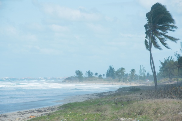
As AccuWeather reports, while a tropical wind and rainstorm pounds mid-Atlantic and New England beaches with coastal flooding, beach erosion and gusty winds, another tropical storm spun up in the Atlantic Ocean. “At 5 a.m. EDT, Tropical Storm Lorenzo strengthened in the main development region of the Atlantic Ocean, becoming the twelfth named storm in the Atlantic this season,” said AccuWeather Lead Hurricane Expert Alex DaSilva.
Fortunately, Lorenzo is forecast to stay well away from land for the next several days, but the storm’s impacts could still be felt by the end of the week in the eastern Atlantic. “Lorenzo is expected to remain well offshore but may bring high surf and dangerous rip currents to the Azores and the northwest coast of Africa later this week,” DaSilva said.
What does the future hold for the Atlantic Basin?
In addition to watching Lorenzo, AccuWeather hurricane experts are monitoring a low risk of tropical development in the open Atlantic from October 16-18. A tropical wave will move off the coast of Africa and into this zone later this week and could become more organized by the end of the weekend.
“The tropical wave might be able to sneak under a lot of the hostile winds to the North, allowing for it to develop and strengthen before reaching the Lesser Antilles early next week,” DaSilva explained.
A plethora of warm waters in the southern Atlantic and lesser disruptive winds, called wind shear, all mean it is possible the wave could reach tropical storm status by the time it reaches the Caribbean islands. The next name on the Atlantic Basin list is Melissa.
The fate of this tropical wave once it reaches the Caribbean Sea remains even less certain. The weather pattern late next week could pull the storm north towards the Bahamas and the United States. However, it could also continue moving west across the abnormally warm Caribbean. “Residents in the Caribbean should continue to check back for updates on this tropical wave,” DaSilva said.
East Pacific remains active this week
Tropical Rainstorm Raymond, as of midday Monday, was located over northern Mexico. Raymond is forecast to bring continued tropical moisture and flooding into the Southwest into Tuesday.
Following this storm, AccuWeather meteorologists are monitoring the potential for more tropical development in the East Pacific. “A tropical wave located south of Mexico could strengthen mid- to late this week,” said DaSilva.
Anything that forms is likely to move west, at least initially. However, interest in Mexico and the southwestern U.S. should monitor for any tropical impacts, including heavy rainfall and flooding. Raymond is the seventeenth named storm in the East Pacific Basin. The next names on the basin’s 2025 list are Sonia and Tico.
—
Photo Credit: simonovstas / Shutterstock.com