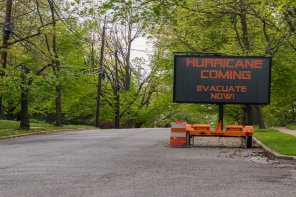
People in the southeastern United States have Hurricane Humberto and high pressure over the Northeast to thank for Imelda’s upcoming right turn to sea this week. However, the two hurricanes and the high will combine forces to bring long-lasting rough surf, dangerous rip currents and coastal flooding.
As AccuWeather reports, Imelda strengthened to a hurricane on Tuesday morning as expected, while east of Florida. High pressure building over the Northeast will block Hurricane Imelda’s northward path this week. Instead of the storm tracking inland over the Southeastern states as originally feared, Hurricane Humberto, tracking northwest of Bermuda, will give Imelda a tug and help steer it away from the U.S. at midweek.
The Fujiwhara Effect
As of Monday afternoon, Tropical Storm Imelda had sustained winds of 60 mph. As of Tuesday mid-afternoon Imelda’s sustained winds reached 85 mph, making it a solid Category 1 hurricane. “This is a case where the rare Fujiwhara Effect will help steer Imelda away from the U.S.,” AccuWeather Lead Hurricane Expert Alex DaSilva said.
The Fujiwhara Effect is the interaction of two tropical systems that causes both to dance around each other like a spinning teacup amusement park ride or ballroom dancers moving in unison. “For a time, Humberto and Imelda will be a little less than 500 miles apart, but close enough for some interaction between the two,” DaSilva said.
Instead of either Imelda or Humberto being drawn toward the U.S. coast, Imelda will be steered away as Humberto curves off to the northeast, DaSilva explained. While Imelda is expected to move away from Florida and the United States, dangerous beach conditions, including rough surf, high seas and life-threatening rip currents are expected to continue spreading from Florida north to much of the U.S. east coast, according to the National Hurricane Center.
Bermuda Braces for Imelda’s Wrath
The outer bands of distant Hurricane Humberto lashed Bermuda on Tuesday ahead of a more direct pass from the newer and stronger Hurricane Imelda on the tiny British territory. As AP News reports, Humberto was passing well north of the island in the north Atlantic, but wind gusts and some rain were forecast into Wednesday.
Imelda had maximum sustained winds of 140 kph (85 mph) late Tuesday and its center was expected to be near the island Wednesday evening, the U.S. National Hurricane Center in Miami said. A hurricane warning for Bermuda was in effect ahead of Imelda, which was expected to strengthen into a Category 2 hurricane, according to the Bermuda Weather Service.
“I cannot overstate the seriousness of this threat,” Michael Weeks, Bermuda’s minister of national security, said of Imelda. “This is not, I must stress, a passing squall.” He said Bermuda would endure sustained hurricane-force winds for up to six hours starting late Wednesday.
Imelda was 915 kilometers (565 miles) west-southwest of Bermuda and was moving east-northeast at 24 kph (15 mph), U.S. forecasters said. Far northwest of the island, Humberto was still hurricane strength with 130 kph (80 mph) winds late Tuesday. The Category 1 storm was moving east-northeast at 17 kph (10 mph).
Both hurricanes were creating ocean swells that were likely to cause dangerous surf conditions on Bermuda, the Bahamas and the U.S. East Coast. Earlier this week, Imelda battered eastern Cuba, killing two people, according to Prime Minister Manuel Marrero. Flooding and landslides also cut off communities and forced evacuations, according to state media. One person was also missing in Haiti after Imelda swelled rivers and caused flooding in some 35 communities, its Civil Protection Agency said.
It’s Been a Strange Atlantic Hurricane Season
Imelda, which reached hurricane strength earlier Tuesday, is the Atlantic season’s fourth hurricane this year. The National Oceanic and Atmospheric Administration had predicted an above-normal season with 13 to 18 named storms. Of those, five to nine were forecast to become hurricanes, including two to five major hurricanes, which pack winds of 111 mph or greater.
The Atlantic hurricane season runs from June 1 to Nov. 30.
—
Photo Credit: Alan Budman / Shutterstock.com
