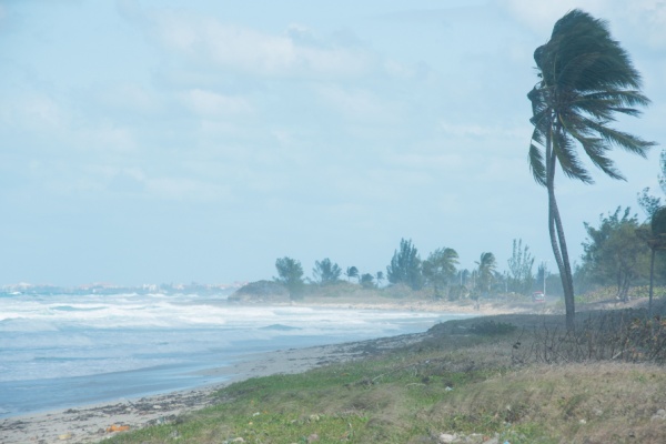
Tropical Storm Debby – the fourth named storm of the 2024 Atlantic hurricane season – formed Saturday in the Gulf of Mexico, according to the National Hurricane Center. The storm follows Tropical Storms Alberto and Chris, and deadly and destructive Hurricane Beryl, which wreaked havoc across the U.S. in July.
As USA Today reports, Debby is expected to drench Florida and parts of the southeast U.S. coast, with as much as a foot of rain, and up to 18 inches in some areas, according to the hurricane center. Maximum sustained winds increased late Saturday night to nearly 45 mph, with stronger gusts. The storm is expected to become a hurricane by late Sunday before it hits the Florida Big Bend coast on Monday, forecasters said Saturday night. Debby is expected to weaken after it comes ashore.
The center warned some parts of the state will face tropical storm or hurricane conditions on Sunday. Some areas could see up to 4 to 7 feet of storm surge. About 10 million people were under Tropical Storm Warnings as of Saturday afternoon, according to the National Weather Service. A tropical depression turns into a named tropical storm once its reaches sustained winds of 39 mph. It would become a hurricane if its winds reach 74 mph.
Florida Gov. Ron DeSantis declared a state of emergency for most of the state’s counties ahead of what could be the region’s first major storm of the hurricane season.
AccuWeather meteorologists said the storm could even strengthen into a Category 1 hurricane and make landfall in Florida’s Big Bend region early Monday morning.
Forecasters are concerned about the water temperatures in the path of the storm. Temperatures in the eastern Gulf of Mexico are well above average, said Brandon Buckingham, an AccuWeather meteorologist. Those temperatures coupled with low wind shear could lead the storm to rapidly intensify over the weekend, Buckingham told USA Today on Saturday.
“It is not out of the question that we could see this hitting that hurricane strength in the hours leading up to landfall,” Buckingham said. “It’s not out of the realm of possibility that we could be talking, potentially, even a category higher.”
Kristian Oliver, a National Weather Service forecaster in Tallahassee, said the region will likely face a high-end tropical storm or low-end Category 1 hurricane. “The difference between the two is very minor,” he said, adding that residents should be prepared for a category higher. “With these things intensity can fluctuate quickly.”
After making landfall, the storm’s path is still uncertain, and forecasters aren’t sure whether the storm will significantly slow as it moves over land, exacerbating impacts.
—
Photo Credit: simonovstas / Shutterstock.com
