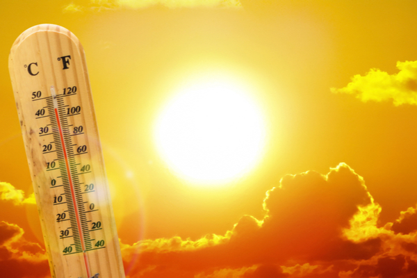
It’s September, but you wouldn’t know it from the temps that are currently baking the Pacific Northwest region. According to AccuWeather meteorologists, one of the most significant heat waves of the year will build from the interior of Washington, Oregon and British Columbia toward the Pacific coast in the coming days. Some areas east of the Cascades could approach their highest temperatures of the year so far.
Fake Fall, indeed.
August was been hotter than average across much of the northwestern U.S. and southern British Columbia, with temperatures running several degrees above normal. Kamloops, British Columbia, has averaged 6.5 degrees Fahrenheit (about 3.5 degrees Celsius) above the monthly historical average temperature. In Portland, Oregon, temperatures have averaged 3.1 degrees higher than the 30-year norm.
Through early week, temperatures will approach or exceed 100 degrees in parts of eastern Washington, Oregon and southeastern British Columbia. At this level, temperatures will be 15-20 degrees above the historical average for early September.
Before this heat wave, Spokane, Washington, reached a high of 97 degrees in late July. There were multiple days during June, July and August with highs in the mid-90s. The city may approach 100 more than once during the first few days of September. Highs in the low 100s are forecast for The Dalles, Oregon, early this week.
Daily record highs, some dating back to the late 1800s, may be challenged in some locations.
The heat will expand westward and spill over the Cascades to parts of the Northwest coast once a nearby Pacific storm departs. That storm will help direct cool air from the Pacific shore inward along the coasts of Oregon, Washington and British Columbia for the first half of the week. Highs in Portland are projected to reach the 90s from Tuesday through Thursday.
Marine air is expected to keep temperatures in check west of the Cascades. If offshore winds become strong enough, temperatures could rise 5–10 degrees higher along the Interstate 5 corridor in the U.S. and the Vancouver area in British Columbia.
As the heat continues and becomes more extreme, people are urged to take it easy, when possible, during the middle of the day and the afternoon hours and to keep hydrated to avoid the risk of heat exhaustion and heat stroke.
High Temps Increase Wildfire Risk Across Region
The surging heat, combined with ongoing drought, will elevate the already high wildfire risk across the region.
Those spending time outdoors or using power equipment this week should use caution and follow all restrictions on open flames. Avoid parking vehicles with hot exhaust systems in tall brush, as this can quickly ignite a fire. If cooking outdoors, keep water nearby to extinguish any accidental sparks or flames. The heat wave and ongoing wildfires will lead to a buildup of smoke and other pollutants in the region. Air quality will decline, which could have adverse effects on some individuals.
Farther south, heat will intensify in California and Nevada, with highs running 5–10 degrees above average in most areas this week. Highs are projected to reach near 100 in Sacramento, California. In downtown Los Angeles, highs will be in the low to mid-90s through the first half of this week.
—
Photo Credit: Ed Connor / Shutterstock.com