The weather pattern in the Southeast will be influenced by several factors this autumn, including the unusually warm waters of the Gulf of Mexico and a significant climate pattern unfolding thousands of miles away.
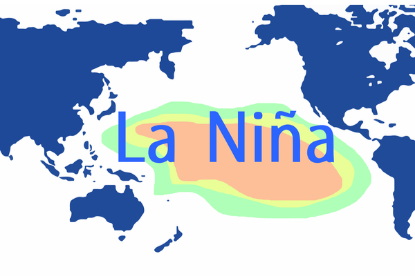
For the third year in a row, La Niña will be one of the dominant factors in the global weather pattern. La Niña occurs when the waters in the equatorial Pacific Ocean are cooler than normal, which can influence global weather patterns, including a higher potential for tropical systems to develop across the Atlantic hurricane basin.
The Atlantic basin has been uncharacteristically quiet since Tropical Storm Colin quickly formed and fell apart in early July with an extended drought of named system, and August was historically tranquil with an unheard of zero named storms. This is only the third time since the end of World War II that there was no named storms throughout August, joining 1961 and 1997.
However, according to AccuWeather forecasters, a surge in tropical activity from September into October is coming, breaking the silence across the ocean. The basin was already showing signs of increased activity as Tropical Storm Danielle developed on September 1. Normally, the peak of the Atlantic hurricane season is around September 10, but with climate change breaking all the normal weather rules, the majority of this year’s storms and hurricanes look like they could brew after the climatological peak.
“The season may end late this year, possibly well into November,” says AccuWeather Senior Meteorologist and Long-Range Forecast Team Leader Paul Pastelok, explaining that significant tropical activity could persist for an unusually long time, until nearly the official end of Atlantic hurricane season on November 30.
Areas from Florida to the Carolinas are forecast to take the brunt of the activity this hurricane season, but people living near other areas along the Atlantic coast and the Gulf of Mexico shouldn’t let their guard down. As has been the theme for the past few years, forecasters say that there could be “one big system” that could make landfall in Texas or Louisiana.
According to AccuWeather, water temperatures have been well above average in the northern Gulf of Mexico, which could potentially help tropical systems in the Gulf gain strength as they approach land. Water temperatures typically need to be 80 to 82 F to fuel a hurricane, and as of Aug. 31, most of the water along the Gulf Coast of the U.S. was at least 86 F. Some beaches in Florida were reporting water temperatures just shy of 90 F, and water temperatures in Tampa Bay were around 92 F.
Not only can this unusually warm water fuel tropical systems, but also thunderstorms that erupt along the Gulf coast and northward into the Carolinas and Tennessee Valley. “Severe weather can get an extra boost, especially in the lower Mississippi Valley,” Pastelok added.
Now for the good news: the wet autumn predicted across the Southeast will put a significant dent in the drought conditions across the region with Pastelok saying that there is a “high” chance that most of the drought is erased. “It won’t take much to get out of these drought conditions that are in place across the eastern Carolinas right now and parts of the lower and mid-Atlantic states,” he added.
Downpours fueled by tropical moisture could also make it into coastal Texas, helping to ease drought worries in and around Houston and Corpus Christi.
—
Photo Credit: Adansijav Official / Shutterstock.com