Lake effect snow events have been actively occurring in the Great Lakes region during November 2025, with significant accumulations reported in parts of the Midwest and upstate New York.
On November 9 and 10, an early-season lake effect snow event brought up to a foot of snow to portions of northeast Illinois and northwest Indiana, including parts of the Chicago metropolitan area. Eastern Racine and Kenosha Counties in southeast Wisconsin also saw 6-12+ inches of accumulation in a narrow band. Thundersnow was reported near Lake Michigan during this event.
As of November 15-16, another round of lake effect snow and strong winds is anticipated for upstate New York, with warnings and advisories in effect for areas downwind of Lakes Erie and Ontario. New England is also experiencing lake-effect snow, gusty winds, and ice.
The early season snow is a result of cold air masses moving over the still-warm waters of the Great Lakes. This large temperature difference creates instability, causing moisture to rise and fall as snow over inland areas. Experts note that warmer lake temperatures may lead to more lake effect snow in the short term, as the lakes remain ice-free longer into the winter season.
What is Lake Effect Snow?
Lake effect snow is a phenomenon that occurs when cold, dry air moves over a large, warmer body of water, such as a lake. The warmer water heats the air from below, causing it to rise, pick up moisture, and form clouds. As this moisture-laden air moves over land, the clouds cool, leading to heavy, concentrated bands of snow dumping on downwind areas.
Lake effect snow bands can produce snowfall rates exceeding five inches an hour, especially if the wind is directed along the largest width of the lake so that a great deal of moisture is continually supplied to the clouds.
The term “lake effect snow” was first used to describe the snow events of the North American Great Lakes Region in the Unites States and Canada, where lake effect snow occurs to the leeward (downwind) side of each lake. Lake Erie is the only lake that routinely freezes each winter, and once it does, lake effect snow seldom occurs. In the U.S. lake effect snow commonly occurs across northern Wisconsin, western Michigan, northwestern New York, northwestern Pennsylvania and the Great Salt Lake in Utah.
The direction of the wind is a key factor, determining where the heaviest snow will fall downwind of the lake. A longer “fetch,” or distance the wind travels over the water, can create even more intense snow bands. Lake effect snow typically decreases as winter progresses because the lakes freeze over, which stops the evaporation process.
—
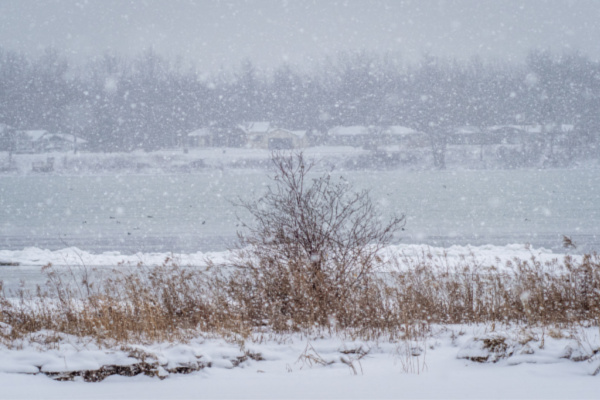
Photo Credit: Pierre Williot / Shutterstock.com