A strong El Niño is favored this winter, which is typically associated with warmer-than-average conditions in much of the northern U.S. It also means parts of the southern U.S. usually see temperatures somewhat below-average in winter.
Remember, this outlook is an overall three-month trend. Therefore, we will likely see periods that are warmer or colder in each respective region of the country. With that in mind, let’s dig into the month-by-month details and follow up with some important factors that could change this outlook.
Winter could begin much warmer than average from the Northern Plains to the Great Lakes and Northeast: Those in the northern U.S. wishing for a cold December to set the mood for the holiday season might be out of luck this year. Cities like Minneapolis, Chicago, Boston and New York City are all currently favored to have temperatures the farthest above average.
The southern tier of the U.S. should see temperatures pretty close to what’s typical.
The southern U.S. could skew somewhat colder than average to start the new year: A hallmark of El Niño is cool, wet conditions in parts of the southern states in the heart of winter, and that’s what the outlook is showing from the Southern Plains to Georgia and the Carolinas. It’s not a guarantee, but that combination of ingredients could increase the chances of snow and ice in portions of this region.
Parts of the Northwest and Northeast have the highest odds for above-average temperatures in January.
Winter’s final full month could feature a colder East, warmer West split: In February, the core of the warmest temperatures compared to average could be in the Northwest and northern Rockies.
The best chance for colder-than-average temperatures might be from the Southeast to the mid-Atlantic.
How much of an atmospheric response will there be to El Niño’s warm Pacific waters?: That atmospheric response in the tropical Pacific, so far, has been muted for this time of year when compared other historically strong El Niño winters, according to Dr. Todd Crawford, Vice President of Meteorology at Atmospheric G2.
The conditions in the atmosphere right now resemble the 2009-10 El Niño, which was notably colder in the central and eastern U.S. So trends will be watched in the coming weeks and months to see exactly how much influence El Niño has on weather patterns this winter, and therefore, whether the outlook could trend colder for some.
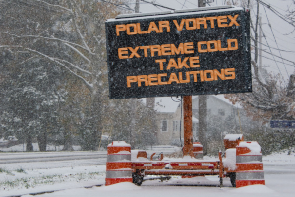
Will the polar vortex weaken later in winter? When the polar vortex weakens, the cold air typically trapped in the Arctic can spill out into parts of Canada, the U.S., Asia and Europe because the jet stream becomes more blocked with sharp, southward meanders, sending more persistent cold air southward toward the mid-latitudes. Crawford said there is a very good chance the polar vortex could weaken in mid-winter, which means there are colder risks in the U.S. during the back half of season.
—
Photo Credit: Alan Budman / Shutterstock.com
