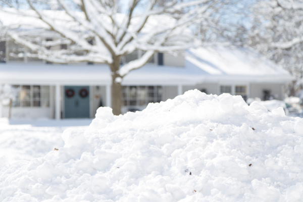
For snow lovers, the big holiday question isn’t what’s under the tree, but what’s on the ground: Will there be a white Christmas this year?
As AccuWeather reports, a “White Christmas” is typically defined as having at least an inch of snow on the ground on Dec. 25, which includes any new snow that may fall on the day itself.
For the 2025 holiday season, AccuWeather forecasters say a classic winter wonderland is likely in the usual snowy spots, and a last-minute storm could deliver snowflakes just in time for Christmas in some areas in the Northeast.
“The start of the winter season was remarkably cold and snowy for millions of people this year. That frigid and stormy pattern is not sticking around for the holidays,” AccuWeather Lead Long-Range Expert Paul Pastelok said.
Where a White Christmas is Most Likely This Year
The central and northern Rockies are once again the safest bet, areas where a white Christmas is almost a guarantee every year. The higher elevations from Wyoming and Montana down through Utah and Colorado look solidly locked in for a white Christmas, with a 40-75% chance of snow on the ground for areas just outside of the mountains.
A man walks his dog near an illuminated Christmas tree during heavy snowfall on December 16, 2020, in Wilkes-Barre, Pennsylvania. (Photo by Mark Makela/Getty Images)
Farther east, areas downwind of the Great Lakes stand out. Typical lake-effect snowbelts, places that often get frequent snow bands this time of year, should be high on the list for snow on the ground Christmas morning. Higher elevations of the Appalachians also have a better chance, especially in New England.
Where the Snow may Melt Away before Christmas
A warmup will build across the Plains in the week before Christmas and expand eastward in the days leading up to the holiday. This marks a dramatic shift in the weather pattern, following a frigid start to the month for most of the nation.
“The fresh blanket of snow from the winter storm on Dec. 13 and 14 in southern coastal areas of the Northeast and mid-Atlantic could melt away in a lot of places as temperatures rise before Christmas,” Pastelok explained.
Where there is a thicker snow cover, the transition to warmer weather could cause snowmen to wilt, but enough snow should still coat the ground through Christmas in many of the colder spots.
The late-December storm that could change things
There is still hope for those dreaming of waking up to snow on Christmas morning, as a winter storm could move through the central and eastern U.S. during the last full week of the month.
“All eyes will be on a storm between Dec. 23-25,” Pastelok said. “The track could determine a late surge for some snow.” However, he noted that the storm is not certain and that its projected track may shift, with warm air possibly bringing mainly rain to areas south of Interstate 80.
Pastelok added that even in some areas where the storm is mostly rain, it could end with some snow showers or be followed by some flurries. “It may not be a full inch of snow on the ground to officially qualify as a white Christmas, but flurries or a fresh dusting of snow can help set the holiday mood,” he said.
White Christmas forecast at a glance:
Highest odds: Central and northern Rockies, Cascades, Sierra Nevada, Midwest, interior Northeast.
Lower odds: Coast of the Northeast, and much of the southern and central U.S.
—
Photo Credit: sherwood / Shutterstock.com