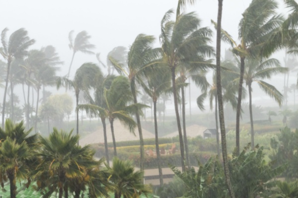
As Hurricane Kiko gradually loses wind intensity in the coming days, its center is forecast to pass north of the Hawaiian Islands. However, as AccuWeather meteorologists reports, expanding moisture will bring rough seas, rain and gusty winds of concern.
Swells spreading outward from the center of the storm will forecast to reach Hawaii and Maui by Sunday night and the other islands on Monday. Large waves in the surf zone can pose hazards for swimmers and inexperienced surfers.
“Kiko will track over gradually cooler waters as it approaches Hawaii, leading to a loss of wind intensity,” AccuWeather Meteorologist Peyton Simmers said. “Despite losing wind intensity, Kiko will spread locally heavy rain and gusty winds to Hawaii from west to east Tuesday into Wednesday.”
As compact hurricanes weaken over cooler waters, their wind fields often expand. Kiko previously peaked as a Category 4 hurricane over the eastern Pacific. Tropical-storm-force winds could reach parts of Hawaii even if the center passes more than 100 miles to the north.
Kiko, currently downgraded to a Category 3 hurricane, is forecast to de-escalate to a tropical storm as it passes north of Hawaii by midweek. As of Sunday morning, Kiko was moving west-northwest at 13 mph with maximum sustained winds of 115 mph and was located 715 miles east of Hilo, Hawaii. Hurricane-force winds extended 35 miles from the center, while tropical-storm-force winds reached 80 miles.
Locally gusty winds where little or no rain falls could increase the risk of wildfire ignition and rapid spread. Drought conditions remain widespread across the islands. “As Kiko passes north of the islands, a plume of tropical moisture is forecast to extend over Hawaii and could lead to gusty thunderstorms and flash flooding,” AccuWeather Senior Meteorologist Adam Douty said.
“Rainfall of 1–2 inches is expected across most of the Hawaiian Islands from Tuesday through Wednesday as Kiko passes,” Simmers said. “Amounts of 2–4 inches are possible along the eastern and northern sides of the Big Island, Maui and Oahu, with an AccuWeather Local StormMax™ of 10 inches.”
Wind gusts of 40 mph or higher are possible along the northern parts of the islands, mainly in squalls developing on the fringe of the distant tropical storm.
—
Photo Credit: Ryan DeBerardinis / Shutterstock.com
