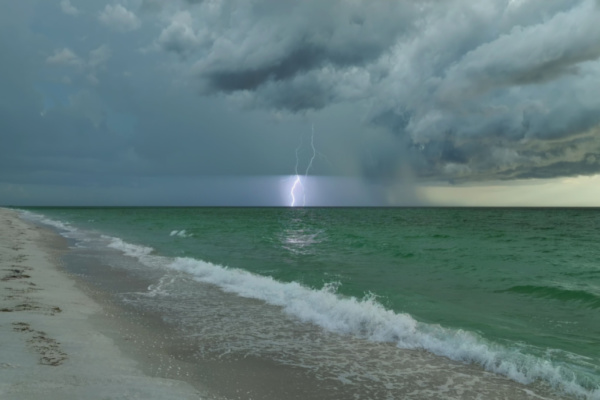
While the Atlantic has turned quiet since Tropical Storm Arlene developed in the Gulf of Mexico in early June, AccuWeather meteorologists are seeing signs that point to some potential trouble spots in the coming weeks.
Some favorable factors for tropical development, such as warm water, are present in the basin. Still, all of the ingredients for organized tropical storms would need to come together for a named storm to form. Indications, such as a robust train of disturbances emerging from Africa, may lead to development by the third week of June. Forecasters say the chances are low at this point but worth keeping a close eye on for many reasons.
According to AccuWeather meteorologists, one annual weather feature that sometimes spurs tropical activity is a feature known as the Central America Gyre. This is a large but slowly spinning area of low pressure located over Central America. This circulation usually extends into the eastern Pacific Ocean, the western Caribbean Sea and the southern Gulf of Mexico, depending on its size.
Since the atmospheric pressure tends to lower within the gyre, thunderstorms tend to flourish. Should a cluster of thunderstorms linger long enough, it may begin to rotate faster than the gyre. Once this circulation is complete with winds of 35 mph, a tropical depression is born. Should the winds spin even faster, to 39 mph or greater, a tropical storm will be named.
AccuWeather meteorologists believe that both the eastern Pacific and the Atlantic will remain quiet into at least Friday in terms of tropical activity. However, during this time, there will be eruptions of thunderstorms near Central America, and tropical waves (tropical disturbances) will move westward from Africa.
As these waves move along, there may be some tropical development in waters surrounding Central America and southern Mexico beginning perhaps as early as this weekend and on through the third and fourth weeks of June. “Development is not out of the question on either the eastern Pacific side or the Caribbean side during this time,” AccuWeather Tropical Meteorologist Alex DaSilva said. “While it is not impossible for simultaneous development on both sides, it is usually rare for such an occurrence as there is not often enough energy to support both.”
Should a tropical storm gradually develop next week over the eastern Pacific, it would be the first of the season and be given the name Adrian. Steering winds should guide any system that forms over the eastern Pacific out to sea. If an organized system takes shape on the Atlantic side, it would be named Bret since a tropical storm already clenched the first name on the 2023 list, Arlene, when it developed in the Gulf of Mexico early in June. Due to the expected steering winds and its potential proximity to land, any named storm that forms could pose threats to land in the form of rain, wind and rough seas from the western Caribbean to Central America and perhaps the southern United States.
“Looking ahead into late June, as the tropical wave train continues across the Atlantic from Africa, one such tropical disturbance may provide another spark over the western Caribbean under the gyre’s influence,” AccuWeather Long-Range Meteorologist Joe Bauer said.
Some data support a disturbance that could evolve into an organized tropical system that travels from the western Caribbean to the southern Gulf during the fourth week of June due in part to an abnormally active train of tropical waves emerging from Africa for this point in the season.
AccuWeather meteorologists have noticed more tropical wave activity than usual for so early in the season. Typically, dry air and dust limit this activity, but so far this season, there is a lack of dust and dry air originating from the Sahara Desert. “Because of the lack of dust, which normally blocks some of the sun’s energy, water temperatures are higher than historical average by several degrees Fahrenheit this month,” AccuWeather Senior Meteorologist Brett Anderson said. This warmth has given the tropical wave train a boost so far.
Water temperatures need to be near 80 F with an absolute minimum of 78 degrees for tropical development to occur. Waters are sufficiently warm and at or above these levels over much of the tropical Atlantic, Caribbean, Gulf and part of the eastern Pacific along the coast of Central America. In some locations, water temperatures have surged to between 82 and 84 degrees.
Meteorologists will also be watching the zone from the Bahamas to just off the Carolina coast during mid- to late June as there will be a series of weak non-tropical storms as a cold front is expected to stall over this region. Occasionally, these features can evolve into a tropical system, provided they can separate from the front. However, in this western Atlantic zone, disruptive winds from the southwest, known as wind shear, may prevent development in the first place.
While nothing is imminent, experts recommend that residents and those with vacation plans constantly stay tuned to forecasts, especially during hurricane season.
—
Photo Credit: Bilanol / Shutterstock.com
