As Erin generates hazardous surf and coastal flooding along the Eastern Seaboard of the United States this week, AccuWeather reports that meteorologists are closely monitoring two additional areas of potential tropical development in the Atlantic basin.
Both systems are classified as tropical waves, having recently emerged off the west coast of Africa. Both have been assigned a high risk of developing into a tropical depression A third tropical wave was still over Africa and will soon move over the Atlantic Ocean. “The tropical wave in the middle of the Atlantic Ocean is expected to follow a similar path to Erin,” DaSilva said. “However, sea surface temperatures may have been temporarily cooled in Erin’s wake, which could inhibit rapid development early on.”
Ocean temperatures along Erin’s path may take approximately a week or more to rebound to levels more favorable for tropical formation.
Farther east in the Atlantic, a second disturbance—currently producing a broad area of thunderstorms—recently brought heavy rainfall to parts of the Cabo Verde Islands, located just off the west coast of Africa. “The tropical wave just west of the Cabo Verde Islands is expected to track farther south than Erin and move over warmer waters,” DaSilva said. “However, as it nears the eastern Caribbean islands, it may encounter disruptive upper-level winds that could inhibit further development.”
The next two names on the list of tropical storms for the 2025 Atlantic hurricane season are Fernand and Gabrielle.
A steady progression of tropical waves is expected to continue moving westward from Africa through the coming weeks. During an average Atlantic hurricane season, between 40 and 60 tropical waves typically cross the basin. “We estimate that approximately one-third of this season’s tropical waves have occurred so far,” DaSilva said. “That leaves two-thirds of the season remaining, when sea surface temperatures are typically much warmer and more conducive to tropical development than during the early part of the season.”
Even if only one out of four or five of the remaining waves develops into a named tropical storm, that would still result in a substantial number of additional storms. As of now, five named storms have formed in the Atlantic basin. AccuWeather meteorologists continue to project a total of 13 to 18 named storms for the 2025 Atlantic hurricane season, including seven to 10 hurricanes. So far, Erin is the only system that has reached hurricane status, and also the only storm to intensify into a major hurricane.
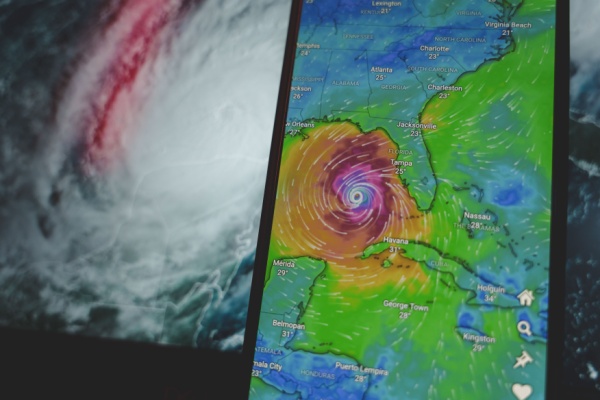
The most active portion of the Atlantic hurricane season lies ahead, with a typical surge in storm frequency and intensity occurring from late August through mid-September. Erin was one of the fastest-intensifying hurricanes on record, strengthening from a Category 1 hurricane (maximum sustained winds of 75 mph) to a Category 5 hurricane (160 mph) in approximately 24 hours.
As Erin proved, one key concern in the coming weeks is the increased likelihood of rapid intensification, especially as we approach the climatological peak of the season around mid-September. “By the end of August and into early September, we expect atmospheric and oceanic conditions in portions of the Atlantic to become highly favorable for rapid intensification,” DaSilva said.
—
Photo Credit: Rokas Tenys / Shutterstock.com