The summer vacation season hasn’t ended yet for everyone, with many seeking the less crowded days of the middle to late part of August to enjoy some time at the beach. However, Tropical Storm-turned-Hurricane Ernesto may cause trouble off the Atlantic coastline, and Debby is still causing trouble in some areas, AccuWeather meteorologists warn.
Seas and Surf Will Build Along Atlantic Coast
Ernesto’s expanding winds will push on the ocean surface and create large swells that will spread outward from the center — much like a plunger in a bathtub. As Hurricane Ernesto spins northward and strengthens before approaching Bermuda, seas and surf will build along the East Coast of the United States from south to north into this weekend.
Seas and surf will first build along the southern Atlantic coast into the end of the week and then along the mid-Atlantic and New England coasts this weekend while Ernesto takes a track more than 500 miles offshore.
But as those swells approach the shallow waters along the U.S. beaches, wave action will increase, and correspondingly, the number and strength of rip currents will increase. This occurs as increasing waves carry more water shoreward than can escape before the next wave arrives. The water then returns to the deeper areas through narrow channels known as rip currents.
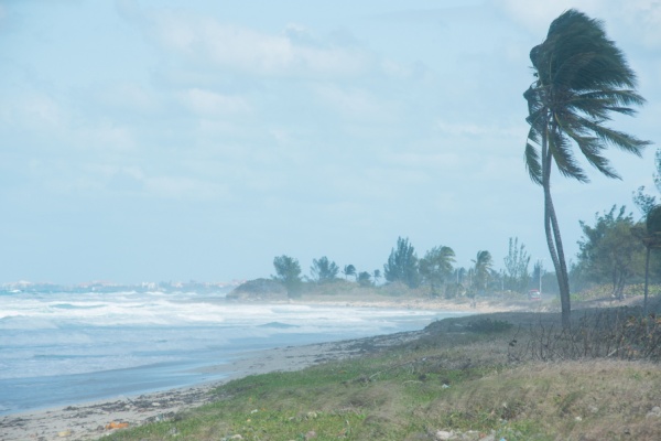
What Are Rip Currents and What To Do if You Get Caught Up?
Rip currents, which are almost always present anytime there are breakers, may appear as a quiet surf zone, but the water within is racing out to sea.
Swimmers are strongly urged to only swim under the watchful eye of lifeguards and obey local restrictions due to weather and surf conditions.
If you become caught in a rip current, experts advise it may be best NOT to fight the flow of water but either swim parallel to the shore or just float until the seaward push subsides in a few minutes to avoid exhaustion.
Meanwhile, ongoing problems in the Eastern states into this weekend will range from a non-tropical storm bringing showers and thunderstorms to the Northeast, while river flooding continues in the lowlands of the Carolinas and Georgia.
Soaking Rain This weekend; Most Problems still from Debby
The rain in the Northeast is not likely to cause major problems on the rivers in the region due to several days of dry weather in the wake of Debby. Most of the flooding from Debby was in a narrow zone that led to the rapid flooding of small streams and secondary rivers of the Appalachians but no significant problems on the major rivers. At the local level, enough rain may fall this weekend to lead to a few incidents of urban and small-stream flash flooding.
However, more downpours will visit the Southeast this weekend. The region continued to experience slow-moving showers and thunderstorms earlier this week, well after Debby had deposited torrential rain in some areas. Debby’s runoff has progressed to the large, slow-moving rivers on the Coastal Plain with major flooding ongoing in some cases.
The downpours earlier this week may have contributed to a slow rate of recession or delay crests in some cases. It may take until next week before some rivers crest and a couple of weeks for most rivers to drop below flood stage in the Southeast. Additional downpours this weekend may have a minor impact on the large rivers that continue to flood, but moist ground and downpours may lead to significant flash flooding of small streams and urban locations.
—
Photo Credit: simonovstas / Shutterstock.com