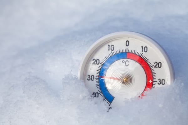
Temperatures are poised to take a tumble late this week and this weekend in the southeastern United States as chilly air develops and is expected to bring snow to the Northeast and Midwest. For many areas in the Southeast, this will be the first frost or freeze of the season.
As AccuWeather reports, that same setup will bring the first snowfall of the season to parts of the Northeast, extending southward to the Appalachians in southwestern Virginia, western North Carolina and northern Georgia late this week and this weekend.
For nearly every state along and east of the Mississippi River, the upcoming pattern this weekend will bring the lowest temperatures of the season so far.
A Winter Storm is Brewing for the North, but No Nor’easter
A storm developing over the central United States will strengthen as it approaches the Atlantic Coast, bringing rain, mountain snow and travel slowdowns to the Northeast from Thursday night to Saturday. With no Arctic air mass moving into the region, cooling within the storm itself will be key to producing snow over the higher elevations.
AccuWeather meteorologists do not expect this system to bring nor’easter conditions until it begins to move away, because the storm will spend a considerable time well inland. The low-pressure area near the ground will interact with a storm several miles above it, near the altitude where commercial jets fly.
Cooling associated with the storm aloft will allow rain to mix with snow at intermediate elevations and change to wet snow over higher terrain from eastern Tennessee and western North Carolina to Maine. Precipitation will begin as rain in most areas Thursday or Friday as the storm moves eastward.
Snow accumulation will depend heavily on elevation, temperatures and snowfall rates. Many higher-elevation areas can expect a slushy coating to a couple of inches, mainly on grass and other unpaved surfaces, with greater amounts possible on the highest ridges. At intermediate elevations, much of the snow may melt on contact with the relatively warm ground.
As the storm pulls away late Friday night into Saturday, around the time when the storm might behave a bit more like a nor’easter, additional strengthening and cooling could allow accumulating wet snow to spread to intermediate elevations in western and central Massachusetts, western Connecticut, southern New Hampshire and perhaps part of coastal Maine. Areas north and west of this zone will pick up coatings in low elevations and up to several inches at intermediate and higher terrain.
Where the Core Cold Pockets Will Be in the South
From Friday night to Saturday, the core of the chill will be centered over Arkansas, Tennessee, Mississippi, northern Mississippi, northern Alabama, northern Georgia, western North Carolina and southern Kentucky.
From Saturday night to Sunday, the cold pocket will be situated farther east over the Appalachians and the Piedmont areas of Virginia, North Carolina and South Carolina. The frosts and freezes upcoming are typical for the time of year and, in some cases, a bit later than the historical average.
Lows in Georgia are forecast to be about 10 degrees lower than last weekend, falling into the mid-30s in urban areas of Atlanta, with readings in outlying areas likely dropping to near the freezing mark. Farther north in Raleigh, North Carolina, lows are forecast to be within a few degrees of freezing in the metro area this coming Sunday morning.
As far south as Gainesville, Florida, lows are forecast in the upper 30s, with a chance of frost outside of town. Even those heading to theme parks around Orlando may need a jacket at night this weekend, with temperatures falling quickly through the 60s and 50s. Temperatures will start in the 40s on Saturday and Sunday.
Where the sky is clear and winds drop off at night, temperatures can dip 5-10 degrees below the current forecast. A storm moving from northern Mexico to South Texas and the Gulf this weekend could spread a veil of high clouds over parts of the Southeast. Where this occurs, temperatures could be a few degrees higher than projections, as clouds tend to act as a natural blanket at night.
Bring Plants and Pets Inside
Some damage to summer season flowers and vegetable plants is likely in some areas extending from northeastern Texas to northern Florida and the Interstate 95 corridor of the Carolinas. Temperatures in this zone will generally drop into the lower to mid-30s. However, temperatures will drop well down into the 20s in some areas, remaining below 32 degrees Fahrenheit for several hours. A killing frost or freeze will occur, marking the end of the 2026 growing season.
Those hoping to preserve potted plants and small container garden vegetables may want to consider bringing them into the garage this weekend. Gardens out in the open may sustain damage even if covered with plastic or blankets due to the anticipated duration and low temperatures.
According to the SPCA, cold temperatures and snow can pose serious health risks to pets, including hypothermia and frostbite. If bringing pets inside is not possible, ensure they have adequate shelter that protects them from wind and moisture, along with access to non-frozen drinking water. Additionally, clean off their paws and fur after they come in from the snow to prevent ingestion of harmful substances like salt.
—
Photo Credit: Dmitry Naumov / Shutterstock.com
