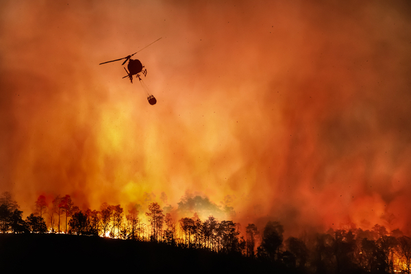
Southern California’s fire disasters cluster in a season when the wind reverses. Instead of cool, damp air arriving off the Pacific, desert air pours downhill toward the coast, arriving hot, bone-dry, and moving fast.
Several fires have broken out since Santa Ana winds began at the end of last week, forcing evacuations in several areas of Southern California.
As CNN Weather reports, in Malibu, more than 7,000 structures were in areas under evacuation orders or warnings on Friday because of the Bryson Fire, which has burned roughly 150 acres and is 52% contained since starting Thursday evening, said a Los Angeles County Fire spokesperson, estimating the number of people under evacuation orders to be in the hundreds.
On the same day, a fast-moving wildfire further south in Orange County sparked, spread, and quickly consumed hundreds of acres and burned multiple homes, county officials said.
The Norte Fire began around noon near a neighborhood in the San Clemente and San Juan Capistrano areas and by Friday evening had grown to 570 acres, the Orange County Fire Authority said. It’s one of several fires that have broken out since Thursday amid fierce Santa Ana winds affecting Southern California.
What Are Santa Ana Winds?
According to Geography Worlds, the Santa Ana winds are strong, hot, exceptionally dry winds that blow from the interior deserts toward the coast of Southern California, reversing the region’s usual onshore sea breeze. They form when high pressure builds over the Great Basin while lower pressure sits off the California coast, driving air from the high desert down through the mountain passes and canyons toward sea level.
Two things happen on the way down. The air is compressed as it descends, which heats it at roughly 50 °F per a little over 1,000 yards, and that heating drives relative humidity down — often below 10 per cent, sometimes to single figures. Meanwhile, the passes and canyons squeeze the flow, so wind that started as a moderate breeze on the Mojave plateau arrives in the coastal basin gusting at 60 to 100 mph.
The result is the most dangerous fire weather in North America, and it explains why California’s most destructive fires are overwhelmingly autumn and winter events rather than midsummer ones.
The Wind That Sets the Fire Season
A wildfire needs fuel, ignition, and weather. Southern California supplies the first two reliably: chaparral and coastal sage scrub that cure to tinder over a rainless summer, and a dense network of power lines, roads and people. What varies is the third, and the Santa Ana is the variable that turns a routine ignition into a catastrophe.
The mechanism is compounding rather than additive. Very low humidity dries fine fuels within hours, so grass and leaf litter that were marginal in the morning will carry fire by afternoon. High wind speed then drives the flame front forward at rates that outpace any ground crew, pushes flames horizontally into unburnt fuel ahead, and — most decisively — lofts burning embers a kilometre or more downwind. Spot fires start well ahead of the main front, which means containment lines are rendered useless, and the fire effectively teleports across roads, rivers and firebreaks that would stop it in calm conditions.
This is why fire agencies issue red flag warnings on the wind forecast rather than on temperature. A 70 °F day with a 70 mph Santa Ana and 5 per cent humidity is far more dangerous than a 100 °F day with still air.
Why Fall and Not Summer
As Geography Worlds reports, the seasonality catches people off guard, because the intuitive assumption is that fire season means summer. Santa Ana events run from roughly September through May and peak in December. Summer is almost entirely free of them.
The reason is that the Great Basin high needs cold air to form, and the interior does not get cold until autumn. Through the summer the pressure pattern runs the other way: the interior is hot, air rises over it, and the flow is onshore — the marine layer that gives coastal California its grey mornings. That onshore flow keeps coastal humidity high and temperatures moderate. Only when the interior begins to cool does the gradient reverse.
The dangerous overlap is autumn, when the Great Basin has cooled enough to generate strong offshore events, but the winter rains have not yet arrived to green up the vegetation. Fuels are at their driest after five or six rainless months, and the wind is at its strongest. A late start to the rainy season extends that overlap, which is precisely what makes some years so much worse than others.
—
Photo Credit: Toa55 / Shutterstock.com
