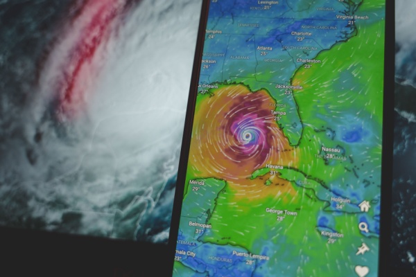
El Niño, disruptive wind shear, dry air, and Saharan dust have all helped limit the number of Atlantic tropical storms and prevented any from becoming hurricanes so far this season. Although those factors will remain in play, as AccuWeather reports, a zone near the United States may become somewhat more favorable for tropical development in the coming weeks.
While tropical cyclone activity continues at a rapid pace in the eastern Pacific, the Atlantic hurricane season remains well behind the historical average. As of Saturday, no Atlantic hurricanes had formed this season, setting a satellite-era record for the latest date without the season’s first hurricane. Since the mid-1960s, satellites have let meteorologists track tropical cyclones and other weather systems across remote stretches of the ocean.
Satellite images continue to show a lack of organized tropical activity across the Main Development Region (MDR) of the Atlantic Ocean, which extends from the waters off Africa to the Caribbean. That pattern is unlikely to change over the next week or two. However, a concentration of showers and thunderstorms is occurring in the waters surrounding Florida, from the eastern Gulf to the southwestern Atlantic. This is the main area where wind shear is weaker, and moisture is more abundant.
A Shift in the Coming Weeks
Although there are no signs of immediate tropical development, non-tropical storms and other weather features drifting through or stalling in the region could produce one or two areas to monitor in the coming weeks.
The waters near the southeastern United States coast are a common resting place for fronts that previously moved into the region from the north and west. Tropical development can occasionally occur along these decaying frontal boundaries. An upper-level storm is forecast to form off the mid-Atlantic coast early this week, drift southwest across the Southeast and enter the Gulf by next weekend.
In some cases, upper-level storms can help generate a circulation near the surface, eventually leading to tropical development. In this case, however, the upper-level storm is forecast to keep moving rather than stall, generating disruptive wind shear along its path.
If a tropical depression or storm forms close to the coast, residents may have little time to prepare for flooding rainfall, gusty winds and rough surf. A separate area with conditions that may favor tropical development could emerge southeast of Bermuda after mid-September.
What Atlantic hurricane record could fall next?
Before routine satellite monitoring, records of tropical storms and hurricanes relied primarily on observations from land stations, ships and aircraft. Storms that remained over the open ocean could therefore have gone undetected, perhaps making records from that era less complete.
Even with those limitations, the pre-satellite record includes several notable milestones. The 1941 Atlantic hurricane season also got off to an exceptionally slow start during an extended El Niño that lasted from 1939 to 1942.
“In the National Hurricane Center’s original report, a storm achieved hurricane status on Sept. 19, 1941, which was the first of the season,” AccuWeather Meteorologist and Digital Media Producer Jesse Ferrell said. “However, reanalysis later determined that it didn’t reach hurricane strength until Sept. 21. If the Atlantic remains without a hurricane through Sept. 21 this year, the 2026 season will also break that record.”
Have there Ever Been Years with Zero Atlantic Hurricanes?
Setting aside years with late first hurricanes, there have been only two years on record before weather satellites with no hurricanes at all: 1907 and 1914.
In 1907, when neither El Niño nor La Niña was present, no Atlantic tropical storms or hurricanes were documented.
In 1914, an El Niño year, only one tropical storm was documented during the entire Atlantic season. The storm made landfall in Florida before moving into Georgia with relatively minor impacts.
Atlantic Hurricane Season is Far from Over
The Atlantic hurricane season does not officially end until Nov. 30, so it is far too early to conclude with reasonable scientific confidence that no hurricanes will form this season.
Warm ocean waters capable of supporting tropical development will linger well into the autumn, including across parts of the central Atlantic between Bermuda and the Azores.
However, because we are past the peak of the season, Sept. 10, the possibility of going the rest of the year without hurricanes has to be considered, given the strengthening El Niño and the resulting areas of wind shear and dry air.
—
Photo Credit: Rokas Tenys / Shutterstock.com
