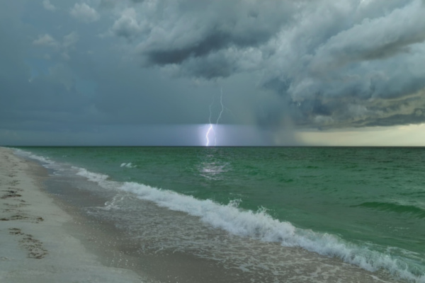
Meteorologists and hurricane experts are currently tracking “Tropical Depression Two” in the eastern Gulf that is expected to bring heavy rain and gusty winds to much of the Gulf Coast through this week.
As AccuWeather reports, a cluster of showers and thunderstorms moved off the west coast of Florida on Friday after producing localized areas of 4-8 inches of rain around Tampa Bay.
This area of stormy weather has since moved over the warm waters of the eastern Gulf, where it has developed circulation. AccuWeather meteorologists designated this entity as a tropical rainstorm on Saturday to raise awareness of the growing flooding risk across portions of the Gulf Coast.
By Sunday morning, the rainstorm had better organized over the eastern Gulf, becoming Tropical Depression Two. Further strengthening is expected, reaching tropical storm strength by Monday. The next name on the list is Bertha.
How does a Tropical Storm get a Name?
For the National Hurricane Center (NHC) to declare a tropical storm has formed and assign a name, the entity must have a defined circulation with maximum sustained winds of 39 miles per hour or greater. “Heavy rain looks to be the biggest threat from Tropical Depression Two,” AccuWeather Meteorologist Alex Duffus said.
A broad swath of 1-4 inches of rain is forecast from southwestern Florida into southern Georgia, extending to southern Louisiana and central and southern Texas. Even higher amounts of 4-8 inches of rainfall could accumulate across portions of the Big Bend in Florida and southeastern Louisiana with an AccuWeather Local StormMax™ of 15 inches.
Increased Risk of Flooding, even in Drought Regions
“While rainfall will be welcome across portions of the Florida Panhandle due to an ongoing drought, the flooding risk can be increased due to dry soil. This dry, hard soil can allow the water to run off instead of being absorbed right away,” AccuWeather meteorologist Alex DaSilva said.
If heavy rain shifts farther west into the Texas Hill Country, there will be an elevated concern for flash flooding given the terrain and recent significant flooding that occurred across the region.
Along with the risk of flooding, the tropical depression will generate wind gusts up to 60 mph from the western Panhandle of Florida into southeastern Texas. The depression could also generate 1-3 feet of storm surge from the Big Bend of Florida to far eastern Louisiana.
“There will also be an increased risk of dangerous rip currents and waterspouts along portions of the northeastern Gulf Coast,” Duffus said.
Marks the End of a Lull in Tropical Storm Activity
AccuWeather first highlighted a low risk for tropical development in the northeastern Gulf on July 13. The depression’s development marked the end of a lengthy lull in Atlantic tropical activity since Tropical Storm Arthur in mid-June.
Elsewhere in the basin, there is a low risk for tropical development south of Bermuda from July 22-24. AccuWeather’s team of tropical experts continues to forecast between eight and 14 named storms during the 2026 Atlantic hurricane season, which is below the historical average due to El Niño.
—
Photo Credit: Bilanol / Shutterstock.com
