The Atlantic and eastern Pacific basins have entered an active stretch into this week, just in time to jeopardize your 4th of July plans.
Here’s where AccuWeather hurricane experts warn there could be potential impacts in the United States during the holiday weekend.
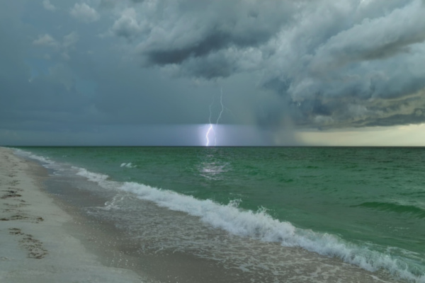
Thunderstorms a precursor to potential development
Before any potential tropical development occurs near the Southeast coast, AccuWeather meteorologists warn that thunderstorms will prevail over the week. “Soon after the heat peaks over the interior Southeast, the pattern will transition into one that favors an increase in showers and thunderstorms into early July,” said AccuWeather Senior Meteorologist Alex Sosnowski.
While much of the Southeast is drought-free, according to the latest U.S. Drought Monitor released on last week, portions of the Florida Peninsula will get much-needed rain over the next several days, much to the chagrin of Sunshine State vacationers. “Sometimes, when a summertime dip in the jet stream lingers near the Gulf or the southwestern Atlantic, it can lead to gradual tropical development,” added Sosnowski.
In fact, this area is no stranger to early-season tropical activity in any given season.
Risk for development during Fourth of July weekend
AccuWeather hurricane experts are monitoring an area along portions of the Gulf and Atlantic coast for tropical development during the holiday weekend, a common area for development early in July.
“A cold front will dive off the coast late this week, and it may act as a catalyst for development either in the eastern Gulf or off the Southeast coast,” adds DaSilva. “Wind shear, which can inhibit development, is expected to be fairly low and ocean water temperatures in the Gulf are above average which can aid in development in the outlooked area.”
Due to these factors, there is a low risk of tropical development in this broad region from July 4-7. However, those heading to the beaches for the holiday weekend from northern Florida and the Alabama and Mississippi panhandles to the Carolinas are urged to monitor the forecast, as there may be rough surf and rip currents and perhaps gusty winds should a tropical depression or storm develop.
Eastern Pacific remains active
The start of the eastern Pacific tropical season has been an active one so far with six named storms and two hurricanes, including Hurricane Erick which rapidly intensified into a major hurricane before making landfall in southern Mexico on June 19.
The active stretch will continue as AccuWeather hurricane experts are tracking Tropical Storm Flossie, currently south of Mexico. Further intensification is expected and the storm is forecast to become a hurricane early week as it moves parallel to the Mexican coast.
“Flossie is the sixth named storm of the season,” adds DaSilva. “The average date for the sixth named storm is Aug. 3.”
While most of the wind will remain offshore, there can still be strong gusts along the southwestern coast of Mexico this week. Heavy rain is also expected to occur across southwestern Mexico which can lead to flooding and localized mudslides in the terrain. If the storm tracks closer to the coast, there can be higher rainfall amounts and wind gusts.
Flossie will also bring dangerous waves, rip currents and storm surge to the Mexican coast through this week. Due to flooding rain, storm surge and strong winds, Tropical Storm Flossie is a 1 on the AccuWeather RealImpact™ Scale for Hurricanes in Mexico.
—
Photo Credit: Bilanol / Shutterstock.com
