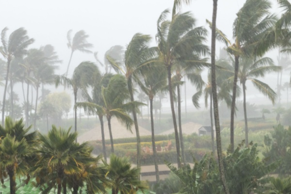
After the earliest start on record and a brutal first half of the 2024 Hurricane Season, the Atlantic is currently uncharacteristically quiet before the busiest part of the season is still to come. But while the Atlantic takes a breather, the Pacific Hurricane Season is taking center stage.
As USA Today reports, after getting soaked by Hurricane Hone this past weekend, another hurricane threat could impact the islands of Hawaii in the coming days.
Hurricane Gilma is currently about 1,260 miles east of Hilo, Hawaii, and is moving west at about 9 miles per hour, the National Hurricane Center said Monday morning. The storm is forecast to continue moving west-northwestward for the next several days “with some increase in forward speed” expected Tuesday evening.
Maximum sustained winds have decreased to about 100 mph, according to the NHC, and although gradual weakening is forecast in the next few days, Gilma is “forecast to remain a hurricane as it approaches the central Pacific basin.”
Two named storms have not come within 300 miles of the main Hawaiian islands in a week’s span since 1992, according to AccuWeather, which said more than 40% of the tropical cyclones to have an effect on the state throughout the year take place in August.
Hurricane Hone passes south of the Big Island of Hawaii
The Big Island of Hawaii was under a tropical storm warning until it was discontinued early afternoon Sunday after Hurricane Hone had passed south of the island, with its sustained winds down to 80 mph. The storm had gained Category 1 status overnight and made its presence felt despite not delivering a direct hit.
“Widespread rainfall of 10 to 15 inches has already fallen across windward Big Island over the past 24 hours, with some locally higher amounts of 18 inches or more,” the National Weather Service said near 11 a.m. Hawaii time Sunday. “Additional rainfall estimates of 3 to 5 inches will keep a moderate to high threat of flash flooding today over much of Hawaii County.”
The heavy rain also raised the risk of mudslides in the mountains, but it reduced the chances the winds would fuel a destructive wildfire like the one that leveled the town of Lahaina in Maui last August. The weather service took down its red flag warning for wildfires in drier areas of the islands, The Associated Press reported.
Hone is expected to weaken but still bring gusty winds and substantial rain to the smaller Hawaiian islands through Monday as it heads west. The National Hurricane Center also warned of “life-threatening surf and rip current conditions.” About 16,000 utility customers were out of power Monday morning, according to poweroutage.us, the vast majority of them in the Big Island.
A third system, named Hector, has developed in Pacific Ocean
But wait, there’s more. A third system, this one east of Gilma and nearly 1,000 miles west of Baja California, developed enough Sunday to earn tropical storm status. It was named Hector and was generating sustained winds of up to 45 mph. The NHC said Hector will slowly get stronger over the next couple of days.
—
Photo Credit: Ryan DeBerardinis / Shutterstock.com
