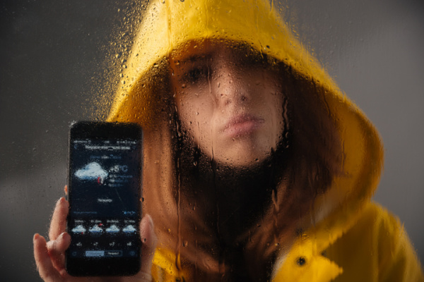
We’ve all been there – we check our phone’s weather app before leaving for work or a trip. And yet so often we still end up shedding our coats, wishing we had brought a coat, running for cover from rain, or wind, or some other adverse condition that wasn’t predicted. What gives? Why can’t our weather apps just get it right?
As the Wall Street Journal (WSJ) reports, faulty weather forecasts ruin the best-laid plans of wedding parties, adventure-sports enthusiasts and others who rely on good conditions. Getting stuck in a downpour is inconvenient, but inaccurate predictions can lead to far worse consequences. A University of Arizona study from last year found that making forecasts 50% more accurate would save 2,200 lives a year in the U.S., primarily from extreme heat or cold.
Apps such as the Weather Channel and Apple’s Weather rely on a mix of publicly available data and their own forecast algorithms, but they don’t reveal how exactly they translate the information into the icons on your home screen. And they get it right…some of the time. There are things you can do to get a better sense of whether you’ll need an umbrella or not.
Predicting the Future
Weather forecasts have gotten better over the past five decades, thanks to high-resolution satellite imagery and faster computers to make the predictions. “When I started with the National Weather Service in the ’70s, a good forecast was about three days. Now, we have a pretty good indication of what’s going to happen over the next seven days,” said Jan Null, adjunct professor of meteorology at San Jose State University in California.
A seven-day forecast can accurately predict the weather about 80% of the time, according to the National Oceanic and Atmospheric Administration, or NOAA. At 10 days out, that goes down to 50%. This year, NOAA had the most accurate predictions of an Atlantic hurricane season ever with 18 named storms. An average season sees 14.
Several inputs go into the forecast you see on your phone. It typically starts with the two most common global weather models, from agencies in the U.S. and Europe. These computer programs ingest information from ocean buoys and satellites. Every six hours, supercomputers take that sensor data and run complex mathematical models to make predictions. Then, weather apps simplify the insights into something we can understand. But the interpretation can vary: One might show a partly cloudy icon, while another shows rain.
Weather models’ predictions are partly based on historical patterns. So when weather systems move unexpectedly, forecasts can change. “We don’t have perfect knowledge of the atmosphere,” said Eric Floehr, founder of ForecastWatch, which is a company that assesses weather-app accuracy.
Models don’t do as well in areas with microclimates, distinctive weather patterns that vary between neighborhoods in places like San Francisco. They also struggle with large changes in elevation, such as mountain towns.
The location your app uses (either zip code or city) might be an issue. Where zip codes are huge—like 89049 in Nevada, which covers some 10,000 square miles—typing in the city might produce a better result, Floehr said.
Climate change makes the task more complex, forecasters say. Models have trouble predicting extreme weather outliers. “Those extremes seem to be occurring more frequently,” Floehr said, pointing to what are called thousand-year events, such as recent, deadly floods in Valencia, Spain.
Be your own Meteorologist
Meteorology has elements of art as well as science, and some forecasters are more accurate than others. Here are some ways to get a better read on the weather.
1. Consult different apps. Floehr created ForecastAdvisor, which lists the most accurate services based on zip code or city. Look at your top three sources. The site doesn’t rate Apple Weather or Google Weather, though, because they are tougher for third parties to track.
2. Consider your location. Some areas’ weather is harder to predict partly because of how models divide the globe into grids. In the American model, there are 18 miles between grid points. A sharp elevation change over that area can mean different forecasts at lower and higher altitudes, Null said.
3. Look at short-term and real-time data. Instead of seven-day forecasts, look at what’s happening within the next three days.
You can go deeper with radar apps, but beware: You might not know what you’re looking at. Null and Floehr suggest exploring radar maps to see, say, where the models think a storm is moving. Meteorologists often refer to the website Pivotal Weather and apps such as RadarScope ($10) and Weather Scope (free).
4. Get the forecast from a human. Much of a meteorologist’s job is understanding each model’s weaknesses, especially in forecast-challenged areas. “For the foreseeable future, we’re going to need people as a part of the process,” Null said. He advised looking first at the National Weather Service, a federal agency with over a hundred local offices around the country, then local media second.
5. Check the probability. There is a common misconception of what “chance of rain” or “probability of precipitation” means. The percentage refers to the chance it will rain in that area at all—not how much of that area will get rained on. So if there’s a 30% chance of rain in Los Angeles, that means there’s a 30% chance the city will see at least .01 inches of rain.
“When it’s at 60% or 70%, I would be prepared,” Floehr said. No matter the probability, the forecaster said it’s always a good idea to be prepared. “I always keep an umbrella in my car.”
—
Photo Credit: Dean Drobot / Shutterstock.com
