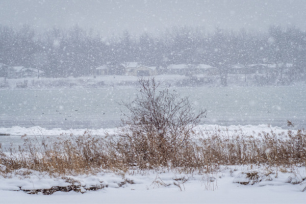
You may have seen the weather reports noting that western New York state was about to be deluged with a massive amount of snow – to the point that a State of Emergency was declared in anticipation of the event – due, as meteorologists stated, to the Lake Effect.
So, what is Lake Effect Snow anyway? Where does it happen? And what causes it?
According to NOAA’s SciJinks, Lake effect snow forms when cold air passes over the warmer waters of a lake. Water holds on to heat more than air. As a result, below freezing air often passes over much warmer water. This causes some lake water to evaporate into the air and warm it. This warmer, wetter air rises and cools as it moves away from the lake. When it cools, it dumps all that moisture on the ground. If it’s cold enough, that moisture becomes snow.
If the winds and temperatures are right, the air acts like a big sponge that sops up water from the lake and wrings it out on land. The direction of the wind is important—if the wind is blowing in a direction that covers more of the lake, the air will take in more water. The greater the temperature difference the more water the air will take in.
The National Weather Service (NWS) states that wind direction is a key component in determining which areas will receive lake effect snow. Heavy snow may be falling in one location, while the sun may be shining just a mile or two away in either direction. The physical geography of the land and water is also important. National Weather Service meteorologists consider these factors as well as others when forecasting lake effect snow.
Lake effect snow, which is common across the Great Lakes region during the late fall and winter, occurs when cold air, often originating from Canada, moves across the open waters of the Great Lakes. The Lake Effect is one of the main reasons why areas near big lakes, like the Great Lakes, get such remarkable snowstorms. Such storms usually occur between November and February.
—
Photo Credit: Pierre Williot / Shutterstock.com
