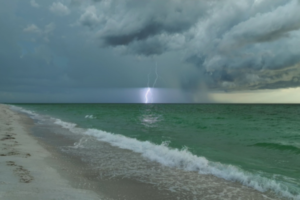
According to Accuweather meteorologists, mild winter is in the forecast for most of the southeastern U.S., but it’s not the air temperature that forecasters are keeping a close eye on. Instead, it’s the water temperature in the Gulf of Mexico and along the Atlantic Seaboard that has meteorologists’ attention. “The water temperatures are going to have a big impact going forward this season,” says AccuWeather Senior Meteorologist Dan Pastelok.
Unfortunately for residents living in the region, in addition to fueling an active final stretch of the Atlantic hurricane season, which officially lasts all the way through November 30, the warm waters off the coasts of the Southeast will promote frequent storms and downpours across the region as the autumn fades into winter. Some heavier rain events will also be possible across the Gulf Coast states and into the Tennessee Valley from December into February, including the risk for some severe weather, Pastelok said.
Severe weather as a whole decreases across the U.S. during the winter months, but it can still be disastrous across the Southeast during this time of year. According to AccuWeather, in December of 2021, a catastrophic severe weather outbreak spawned tornadoes in nine states, causing 76 fatalities and $18 billion in damage just before the start of the holiday season. In 2012, a tornado outbreak across Louisiana, Mississippi and Alabama on Christmas Day spun up 34 twisters and 84 damaging wind reports and cut power to families as they tried to celebrate the holiday with their friends and families.
Hazards of a different and more traditionally winter variety could also develop this season. Last year, there were several snow events across the region that blanketed some southern cities. For example, Huntsville, Alabama, measured 5.2 inches of snow last winter, more than double the annual average of 2.4 inches. The best opportunity for snow or wintry precipitation across the interior Southeast will arrive in January and early February with one or two snowfall events possible in this timeframe. This is lower than last winter when there were four occasions on which snow accumulated across the region.
Pastelok states that if the water in the Gulf of Mexico and along the Atlantic coast remain warmer than usual, there is the chance for a “potentially big system” to develop during the second half of the winter that could impact the East Coast. As for Floridians and reptilian inhabitants of the Sunshine State, the pushes of frigid air that do make it to the Southeast might come short of intruding deep into central or southern Florida.
In recent winters, there have been cold spells in Florida that sent the mercury dipping down into the 30s and 40s F, enough to cause frost and freeze in the typically warm state, which can endanger some of the state’s temperature-sensitive citrus crops. Temperatures this low can also cause the cold-blooded iguanas that reside in Florida to become temporarily stunned by the cold to the point that they appear dead before the warmth reanimates the reptiles.
Pastelok said that the chance of a widespread frost or freeze is low this year, but if it does occur, it will likely take place in late January.
—
Photo Credit: Bilanol / Shutterstock.com
