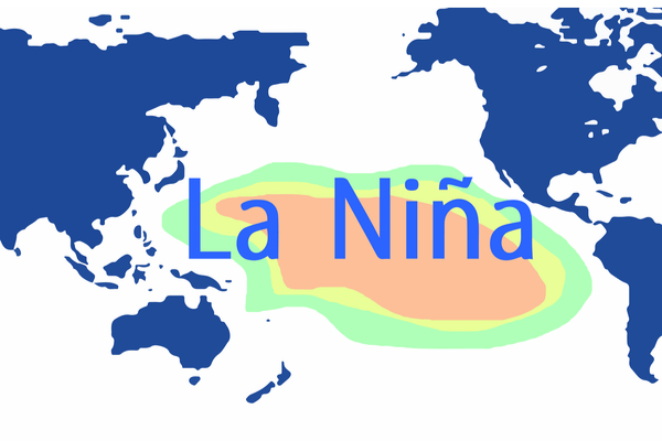
AccuWeather senior meteorologist Paul Pastelok and his team of long-range forecasters are predicting a “triple dip La Niña” for the Winter season of 2022, as it is the third winter in a row that La Niña will shape the weather patterns across the U.S. The regular climate phenomenon occurs when the water near the equator in the eastern Pacific Ocean is cooler than average, which in turn influences the jet stream and the overall weather patterns in North America. Despite what will be the third La Niña winter in a row, this winter will not necessarily be a carbon copy of the past two.
“These third-year La Niñas are very tricky,” Pastelok said, with no two La Niña winters being exactly the same. The weather setup will be one of the most complicated and dynamic in recent memory due to all of the weather factors in play over the upcoming months, Pastelok said.
The triple-dip La Niña expected this winter is just the second of its kind in recent history, joining the winter of 2000-2001 as the only winters where the climate phenomenon persisted for so long. Despite the weather pattern shaping up in a similar matter as it has the past two years, Pastelok warns that this winter “will be a little different from last year, as far as the primary storm track across the West Coast.”
Last winter started on a stormy note for most of California, Oregon and Nevada with storms in October and November delivering some early-season rain and blanketing ski resorts with snow. As the calendar turned to December, the storm track shifted northward, directing the rain and mountain snow toward Washington and British Columbia, Canada. A repeat of last winter’s early-season storms is unlikely, according to long-range forecasters.
“Unfortunately, we have bad news as far as the drought goes in parts of California, Nevada and the Southwest,” Pastelok said. “The main storm track will be even farther north than it was the first half of the winter season last year including the late fall.”
As of September 20, 74% of the western U.S. was experiencing at least a moderate drought, 18% was experiencing extreme drought, and there were pockets of exceptional drought — the most severe of drought categories — in California’s San Joaquin Valley, central Oregon and central Utah. Drought conditions could become worse in some regions of the West with the winter forecast to begin on a dry note.
The anticipated winter pattern will not necessarily mean a parade of non-stop storms for Washington, Oregon and Idaho, as Pastelok explained that the primary storm track will focus more on western Canada. “We’re not looking for the type of year that we had last year with these very, very long periods of heavy rain and snow across California, northern California and the Northwest,” Pastelok said. “But we can see some moderate systems and occasionally one bigger period where it does get hit hard in the Northwest.”
Central and Southern California still have a chance to receive beneficial rainfall and mountain snow this winter, but the storms are likely to hold off until after the start of 2023. This is different from 2022 when the middle part of the winter season in California turned drier then stormy again in the spring.
The La Niña phase is projected to weaken during the second half of the winter, which may open the door for storms to take a more southerly track into California, rather than focusing on the Pacific Northwest and western Canada. This will present the best opportunities for rain in Los Angeles and San Diego, but even still, it will be far from enough to completely erase the long-term drought across the Southwest.
—
Photo Credit: Adansijav Official / Shutterstock.com
