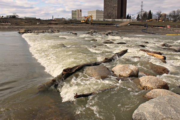
As drought suffocates the West, a very different threat may unfold only a couple states eastward, according to the NOAA forecast: major flooding that could overwhelm the Red River, which flows along the boundary between North Dakota and Minnesota.
Above-average precipitation is most likely in portions of the Great Lakes, Ohio Valley, mid-Atlantic and the west coast of Alaska, while below-average precipitation is forecast for portions of the Central Great Basin, Southwest, Central and Southern Rockies and Central and Southern Plains, eastward to the Central Gulf Coast.
Above-average precipitation over the past six months have primed the Red River basin for flooding, which is expected to commence as snow melts and springtime storminess begins. Moderate flooding is also possible farther south and east, across much of Indiana and portions of Missouri, Kansas and Illinois.
Because of this, there is at least a minor-to-moderate flood risk throughout much of the eastern half of continental U.S., including the Southeast, Tennessee Valley, lower Mississippi Valley, Ohio Valley, and portions of the Great Lakes, upper Mississippi Valley, and middle Mississippi Valley. An above-normal ice breakup and flood potential is also present in Alaska.
“Due to late fall and winter precipitation, which saturated soils and increased streamflows, major flood risk potential is expected for the Red River of the North in North Dakota and James River in South Dakota,” said Ed Clark, director, NOAA’s National Water Center.
The latest spring flood forecast is actually similar to the one that came out in 2020, which also highlighted the Red River as an area of major spring flood risk. That year, the river exceeded flood stage by over 10 feet in Fargo, N.D.
NOAA’s National Hydrologic Assessment evaluates a number of factors, including current conditions of snowpack, drought, soil saturation levels, frost depth, streamflow and precipitation.
—
Photo Credit: annscreations / Shutterstock.com
