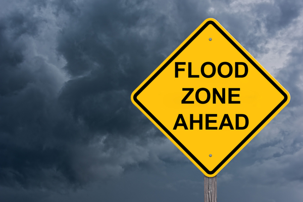
Areas from northeastern Texas to central and southern Alabama, and perhaps northern Florida, are bracing for the flooding consequences of 4-8 inches of rain and locally higher amounts into this weekend, in addition to severe thunderstorms, AccuWeather meteorologists warn.
The atmosphere is not ready to let go of the pattern responsible for rounds of heavy rain in parts of the southern United States since April. A large and slow-moving storm will push eastward over the middle of the nation and pull copious amounts of moisture northward over the Interstate 10 and 20 corridors of the central Gulf Coast states.
The storm system will set off locally violent thunderstorms that pack high winds, large hail and even a few tornadoes. However, torrential downpours unleashed by the storms could be far more disruptive to many more people in the region, especially where they lead to flooding or renewed flooding. There is a significant risk to lives and property.
Meteorologists’ latest prognosis is that at least seven states will receive 2-4 inches of rain from late this week to early this weekend. However, double that amount will occur within that zone, with an AccuWeather StormMax™ of 11 inches. In many cases, that rain will fall in 12-24 hours.
Since the second week of April, rainfall has been two to three times the historical average, in some cases 12-20 inches. Much of that rain fell in several days and led to a rapid runoff into area streams, rivers and bayous.
Not only will enough new rain pour down to trigger flash urban and small stream flooding, but also many rivers in the region will be on the rise. People living along stretches of rivers that do not have protection from rising water will be at risk. In some cases, the flooding may be close to or exceed that of the past couple of weeks. Other areas that have not experienced river flooding in prior weeks could face issues.
The ground has become saturated over a multistate area of the South. While there have been some intervals of rain-free weather between deluges, those breaks have not been enough to allow streams and rivers to recede to the point where they can reasonably handle more rain.
In the past few weeks, rounds of torrential rain have periodically caused rivers to surge from northeastern Texas to southern Alabama and northern Florida. In portions of northeastern Texas, major river flooding has occurred.
Rivers that should be watched for water rising to new heights include the Trinity, San Jacinto and Neches in Texas, the Sabine River along the Texas/Louisiana border, the Calcasieu River in Louisiana, the Pearl River in Mississippi and the Alabama and Tombigbee rivers in Alabama. However, many more rivers, creeks and bayous in the region will be surging as more rain evolves and even days after the rain moves away later this weekend or next week.
Motorists should be prepared for roads to become blocked by floodwaters and should avoid flood-prone areas. In some cases, waters may rise rapidly and quickly engulf even large vehicles along small streams and low-lying areas.
In the wake of the slow-moving storm to affect the region from late this week to this weekend, a change in the pattern is in store for much of the I-10 and 20 corridors of the South Central and Southeast states.
“Incidents of frequent heavy rain will likely set up farther to the north over the central Plains and Midwest,” AccuWeather Lead Long-Range Meteorologist Paul Pastelok said. “Instead, portions of the I-10 and 20 corridors of the South Central and Southeast states will bask in building heat and humidity without the nearly daily threat of severe thunderstorms and deluges.”
—
Photo Credit: Jim Vallee / Shutterstock.com