Maybe it doesn’t exactly feel like it where you are this holiday season, but according to experts at the National Oceanic and Atmospheric Association (NOAA), La Niña is still going to make herself known in 2025.
As The Weather Channel reports, cooler-than-average water temperatures in the equatorial Pacific Ocean are still expected to reach the criteria for a weak La Niña by the end of January, according to an updated outlook released by NOAA. While weaker La Niñas typically have less influence on global weather patterns, this one might flex a bit more muscle on rain and snow impacts in the United States.
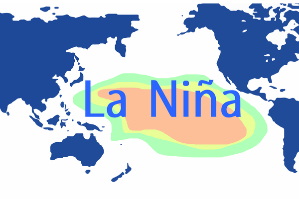
Neutral conditions remain in place, but a La Niña watch is still in effect. La Niña occurs when the ocean’s surface temperatures in the central and east-central equatorial Pacific (circled below) reach a specific cooler-than-average level, which can then affect atmospheric circulations globally. So far, that threshold hasn’t been met for NOAA to declare a La Niña event underway.
A La Niña watch remains in effect since waters in this region are still expected to cool and persist long enough to meet the criteria.
A weak La Niña is favored to develop. NOAA says there is a 59% chance the criteria for La Niña conditions will be met by the end of January 2025. NOAA said in its December update, “The forecast team leaned toward predicting an eventual onset of weak and short-lived La Niña conditions, based on the model guidance and current atmospheric anomalies.”
Assuming La Niña forms, its likely short-lived nature means it’s forecast to be over between March and May.
Despite it being a possible weak La Niña, precipitation impacts in the U.S. might be notable. As mentioned earlier, weaker La Niñas have less influence on global precipitation and temperature patterns, but there is a wild card this year.
A forecast from the NMME climate model still shows a strong indication of La Niña’s influence on precipitation in the U.S. for December through February, as noted in a NOAA blog entry written earlier this month. For context, La Niña usually brings wetter-than-average winter conditions to the Pacific Northwest and Ohio Valley, while the nation’s southern tier tends to skew drier.
So, why would a weaker La Niña still potentially produce notable precipitation impacts in the U.S. this winter? Although the equatorial Pacific waters might not be staunchly below average, they are still relatively cool compared to the widespread warmer-than-average waters in the rest of the global tropical regions.
The blog stated that taking this factor into account presented a better match to the NMME precipitation forecast for winter than a traditional La Niña indicator. You can see this in the graphic below outlined by the blue square, which matches the NMME forecast on the far left better than the center image that’s based on traditional indicators.
While this is not a guarantee since other factors in the atmosphere can override the influence of La Niña for periods in winter, it’s something forecasters will be monitoring closely as a possibility.
Winter temperatures in a weak La Niña are a north-to-south split. The north-central U.S. tends to be colder than average in La Niña winters. The South often sees above-average temperatures, but that doesn’t mean there won’t be periods of colder weather, as we’ve already seen to start December.
As mentioned earlier, the forecast for a weak La Niña this winter means the temperature outcome could be different than traditional expectations.
—