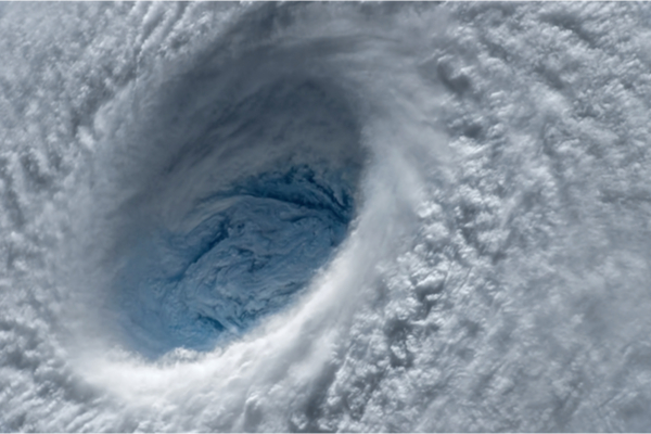
In the wake of Hurricane Ian’s devastating strike in Florida, the Atlantic hurricane season still has a little less than two months left, as The Weather Channel reports, including the typically active month of October.
This latest disturbance, known to meteorologists as Invest 91L, is in the southeastern Caribbean just north of the coast of South America. An “invest” is an area the National Hurricane Center is watching closely for development using advanced computer models and other resources, including the Hurricane Hunters.
Right now, westerly winds aloft are blowing thunderstorms away from the disturbance’s broad area of low pressure. This wind shear typically prevents or acts to slow a tropical system’s development. Some land interaction may also slow development.
Wind shear should be much lower as the system moves westward over an ample supply of deep, warm water in Caribbean Sea for the rest of this week. Therefore, we expect the disturbance to become a tropical depression or storm by late this week or the weekend.
The next named storms in the Atlantic Basin will get the names Julia, then Karl.
—
Photo Credit: Evgeniyqw / Shutterstock.com
