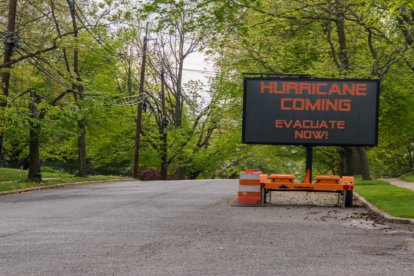
Hurricane Beryl has quickly gained strength as it charges toward the Caribbean where it is predicted to strike with powerful winds and flooding storm surge.
As AccuWeather reports, Beryl reached hurricane status on Saturday afternoon with Category 1 winds of 75 mph just 24 hours after the system was first formed as a tropical depression over the Atlantic Ocean. As of 8 a.m. EDT Sunday, Beryl had become a major Category 3 hurricane with sustained winds of 115 mph, and it was heading west at 20 mph, a brisk pace for a hurricane.
Beryl continued to intensify Sunday and became a Category 4 hurricane (sustained winds of at least 130 miles per hour) late Sunday morning. AccuWeather meteorologists are expecting that the storm will maintain it’s high intensity before reaching the Windward Islands. “Beryl continues to strengthen as it moves toward the Lesser Antilles, as the environment around the storm is becoming more conducive,” said AccuWeather Lead Hurricane Forecaster Alex DaSilva.
Due to the threat, the Meteorological Service of Barbados issued a hurricane warning for the island Saturday afternoon. Late Saturday morning, hurricane watches were issued by other government agencies to include St. Lucia, St. Vincent and the Grenadine Islands and Grenada. “The storm will continue to be steered west-northwestward across the Caribbean Sea by a large area of high pressure through the middle of [this] week,” said DaSilva.
AccuWeather began referring to the system as a tropical rainstorm on Thursday to help raise public awareness of the risk to lives and property along the storm’s path. As Beryl tracks west, higher-than-historical-average water temperatures will be one of the primary factors leading to the potential for continued rapid intensification.
However, interaction with the larger islands of the Caribbean as well as bouts of wind shear and dry air may still become inhibiting factors to the storm once it begins to track farther north and west in the Caribbean. AccuWeather meteorologists expect that these factors will lead to a gradual decrease in wind intensity as Beryl tracks farther west.
The AccuWeather RealImpact™ Scale for Hurricanes is a 4 for the Lesser Antilles in the eastern Caribbean, with the expectation that the storm will remain a Category 4 (maximum sustained winds of 130-156 mph) by the time that it reaches those islands. As Beryl continues to the west-northwest, an AccuWeather RealImpact™ Scale for Hurricanes of 2 has been given to Jamaica. Additional numbers will be issued on the AccuWeather RealImpact™ Scale for Hurricanes as it approaches other land masses.
Beyond its trek through the Caribbean, all eyes will turn toward the United States. At this point, AccuWeather hurricane experts expect the U.S. to avoid impacts from the storm. That being said, residents should not let their guard down. “At this point, the most likely scenario is for the storm to move westward into Mexico; however, it is very important to note that if the high pressure across the Southeast weakens, that can allow the storm to move farther north and potentially directly impact the Gulf Coast,” explained DaSilva.
Tropical storms and hurricanes in the central and eastern Atlantic are rare this early in the season. This area of the Atlantic, known as the main development region, does not typically spawn tropical storms and hurricanes until mid-August or later.
Additional tropical development is expected in the coming days
Beryl may not be the last early-season tropical storm or hurricane to form in the central or eastern Atlantic Ocean. Tropical Depression Three formed Sunday afternoon in the Bay of Campeche and may still become a tropical storm before making landfall in Mexico Sunday night. Due to this threat, the government of Mexico has issued tropical storm warnings along parts of the Mexico gulf coast.
Regardless of exact strength, heavy rain and gusty winds have already begun moving into Mexico as of Sunday afternoon and will continue through Monday. This can lead to dangerous flash flooding and mudslides, especially in the mountainous terrain inland from the coast. Locally damaging winds can also occur, especially near the coast.
The tropical Atlantic could potentially become calmer for a time after this week, but the season is not even a month old yet, and more storms will form throughout the remainder of the season.
—
Photo Credit: Alan Budman / Shutterstock.com