The coldest and most persistent outbreak of Arctic air in a couple of years will have the intensity and staying power to trigger feet of lake-effect snow and whiteouts in some areas of the Upper Midwest and the interior Northeast, AccuWeather meteorologists warn. However, there is the risk of a ground-covering snow squall reaching as far as coastal areas of the Northeast.
In the wake of a massive storm that affected more than 200 million people in the central and eastern United States with snow, rain, wind and thunderstorms to end the week, its impact on the weather will continue for many days. Its main role now is to help push Arctic air to the south and east, via gusty winds.
The frigid air, fresh snow and blowing and drifting snow over the Midwest will make the task of keeping roads and sidewalks clear difficult. As a result, travel may remain perilous. Motorists who become stuck or stranded in the snow or choose to walk will face subzero Fahrenheit AccuWeather RealFeel® Temperatures. The Arctic air will advance eastward and southward in a couple of stages. One push already settled into the South Central states and advanced to the Atlantic coast at the start of the weekend.
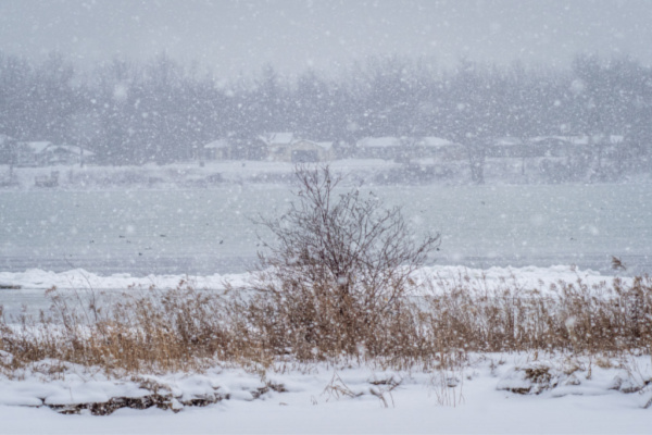
As the frigid air passes over the relatively warm waters of the lakes, the moisture released will result in towering bands of clouds that can unleash tremendous amounts of snow on the downwind landscape. This lake-effect snow can result in highly variable weather conditions ranging from a clear sky to a blizzard in the span of less than a mile.
Depending on how long the bands of snow persist over a certain area, a tremendous amount of snow can fall. The snow bands can behave like intense summertime showers with thunder and lightning but with heavy snow instead of a torrential downpour.
“The complete lack of ice cover and water temperatures well above the historical average, combined with the brutal cold, will fuel extreme snowfall rates of 3-4 inches per hour,” AccuWeather Senior Meteorologist Adam Douty said. “Not only will lake-effect snow be measured by the feet downwind of the lakes into the start of the week, but several more feet of snow may also pile up from Tuesday through Wednesday, especially along some of the shores of Lakes Erie and Ontario.”
The persistent cold winds will cause spray to freeze along the shores of the Great Lakes and lead to freezing overwash on the shorelines that face the winds. In some cases, such as on Lake Erie, a phenomenon known as a seiche will cause the lake to lean with high water on its northeastern end and low water on its southwestern end.
“For much of the country, this will end up being the coldest and most persistent outbreak of Arctic air in a couple of winters,” AccuWeather Senior Meteorologist Matt Benz said. “You have to go back until February 2022 to find something about as cold and as lengthy as this outbreak will be, at least for the whole of the Central and Eastern states. The Northwest missed out on that cold air in 2022,” Benz said.
—
Photo Credit: Pierre Williot / Shutterstock.com
