The pattern for the northeastern United States will be a ‘tale of two weeks’ as low humidity and cool to seasonable air much of this week are replaced with surging heat this weekend and the first heat wave of the season for millions next week, AccuWeather meteorologists say. Opportunities for rain will be limited, a switch from much of the spring.
However, the region’s natural air conditioning that is providing a break in cooling costs will not last much longer as the temps start to ramp up and the first heatwave of the Summer comes for the Northeast next week.
“As a front approaches from the Great Lakes later this week, a southwesterly breeze will help push temperatures upward on Thursday, with a spike of very warm to hot air in store along much of the Atlantic coast on Friday,” Buckingham said.
By Thursday, widespread highs in the 80s are in store, and by Friday, temperatures along much of the Interstate 95 corridor from the mid-Atlantic to southern New England will spike into the 90s.
The approaching front may have trouble producing a great deal of rain, but this does not mean there cannot be gusty thunderstorms, including some with damaging wind gusts from Thursday evening across the interior to Friday along part of the I-95 zone.
During Father’s Day weekend, temperatures and humidity levels will be in a tug-of-war. Some dry and slightly cooler air will cover the northern parts of the region while heat will hold across the southern zones. The heat will win the battle by early next week.
“From Monday through much of next week, home-grown high pressure will build over the region while the jet stream bulges northward,” Buckingham explained, “This one-two combination will set the stage for building heat and an uptick in humidity levels. For many, this will be the first heat wave of the year.”
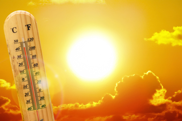
A heat wave is a stretch of unusually hot weather, with or without high humidity, lasting more than two days. For much of the Northeast, the 90-degree mark represents the threshold of warm to hot conditions. The last heat wave in this part of the nation was way back in September of last year.
From Monday to Thursday of next week, widespread highs ranging from the mid-80s to the mid-90s are in store, with a few spots potentially climbing into the upper 90s. At this level, when combined with intense mid-June sunshine, AccuWeather RealFeel® Temperatures will surge to dangerous levels, especially in the urban areas of many of the major cities.
Because of light winds over the region, coastal areas, including the major cities of Boston and New York City, may be subject to some cooling sea breezes on certain days, where temperatures are held 10-20 degrees lower than areas several miles inland.
“Aside from the possibility of a shower or gusty thunderstorm from the front late this week, areas that miss out on the rain could have a stretch of where it does not rain at all for seven to 10 days or more,” AccuWeather Senior Meteorologist Dave Dombek said, “The dryness will help temperatures surge during the day as much of the sun’s energy won’t be used up evaporating moisture from the ground.”
Rainfall in much of the Northeast since March 1 was 100-150% of the historical average. However, parts of the Northeast were very wet during March, with 150-300% rainfall compared to the historical average. The dry weather for most days well past mid-June will provide opportunities for outdoor projects to be undertaken, run on schedule or completed.
—
Photo Credit: Ed Connor / Shutterstock.com