California issued its earliest snow advisory in the past 20 years with an alert early this week for residents in the Sierra Nevada, according to the National Weather Service (NWS).
As USA Today reports, this week, areas of the Sierra Nevada above 8,000 feet are expecting some snow as a trough, a region of low atmospheric pressure, brings between a 35% to 65% probability of 2 inches of snow or more. “We have a very cold draft moving into the area this afternoon and evening, and [it] will move through on Monday,” states JP Kalb, a forecaster with weather service. There is another 40% chance the Tioga Pass will see 3 inches or more of snow from Wednesday to Thursday as a second trough moves into the area.
The last time a similar weather alert was issued in September was a snow advisory from Yosemite to Kings Canyon back in 2007. There have only been five September snowfalls on record in Grant Grove, California, which is just west of Kings Canyon National Park, and is around 7,000 feet in elevation. The last time this area had snow in September was in 1986.
Careful if You’re Driving to Yosemite
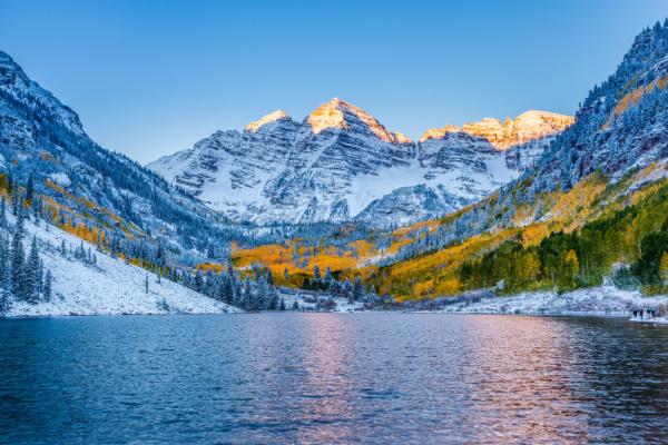
California’s State Road 120 passes through the Tioga Pass, an area near Yosemite National Park that is expected to receive more snow than other areas, according to the weather service. It is one of the main roads that leads to the park. There is a 40% chance it will receive 3 inches of snow or more.
The pass, which is 231 miles east of San Francisco, is at an elevation of 9,943 feet in the Sierra Nevada and usually closes in the winter due to snowfall. Visitors in areas of Yosemite National Park could experience snow as well.
Those traveling through the Sierra Nevada this week should have alternate plans in case of closures. People driving through the Valley should watch for slick roads. Yosemite National Park will make the decision on whether to close SR 120, David Spector, a weather service meteorologist, told USA Today.
A Month’s Worth of Rain in a Week
This system will push across the Intermountain West and into the Rockies on Tuesday. Up to one inch of rain is expected across portions of Idaho, Oregon, Nevada, and northern California, with isolated amounts of 2 to 4 inches possible through Thursday.
While these amounts may not seem high, this is the drier part of the year so this will equate to a month’s worth of rain for cities like Reno, Boise, and Redding, California.
The widespread precipitation chances will also bring much cooler temperatures to the region over the next few days. Portions of Oregon, California, Nevada, and Idaho will see temperatures 15 to 20 degrees below normal, including Reno, Nevada; Medford, Oregon; as well as Bakersfield, Fresno, and Sacramento, California.
California Wildfires Won’t be Affected
Southern California is coping with several wildfires. Unfortunately, they will not be impacted or lessened by the rain. “Most of the wildfires are well South of where we have the advisory,” said Kalb. The weather service forecasts the precipitation will be 33% to 40% below average. Last year was slightly below average.
Despite the early snow advisory, the weather service forecasts that the Missouri River Basin Drought, which is affecting areas of northern and southern California, could continue to worsen through September.
—
Photo Credit: kan_khampanya / Shutterstock.com
