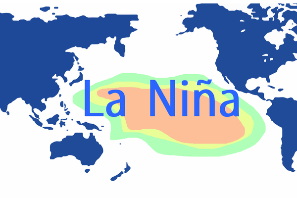
A very wet, and in some cases record breaking rainfall, for December in the western U.S., some people are starting to scratch their heads, wondering about this predicted “Triple Dip” La Niña. The explanation from weather experts is that while the ENSO Outlook remains at La Niña, there are some signs that La Niña is weakening.
El Niño and the Southern Oscillation, also known as ENSO, is a periodic fluctuation in sea surface temperature (El Niño) and the air pressure of the overlying atmosphere (Southern Oscillation) across the equatorial Pacific Ocean.
An updated outlook released by the Climate Prediction Center last week confirms La Niña is expected to continue through winter, as has been expected for several months. That tends to bring a dryer winter to the southern half of the U.S. and a wetter winter to the northern half.
But the driving force of La Nina is trade wind and the cold water. Trade wind blows large amount of warm water to western equatorial Pacific. When the warm water in eastern equatorial Pacific is blown away, it will be replenished by the cold water under the sea surface. When trade wind gains intensity, upturning of deep water in East Pacific will strengthen and the sea surface temperature will be abnormally low. Therefore, the atmospheric pressure in eastern equatorial Pacific will descend and atmospheric pressure in the west will ascend, which facilitates the gaining momentum of trade wind and the formation of La Nina.
As we transition from winter to spring, climate models are starting to indicate La Niña may fade away. So, while La Niña may have decided to stick around for a rare, triple-dip winter, we may soon be saying goodbye to the climate pattern that’s been with us, on and off, since 2020.
Now, that doesn’t mean we’ll switch into El Niño right away. Meteorologists say we’ll likely end up in an “ENSO-neutral” setup, which means neither La Niña nor El Niño conditions are present.
La Niña years are typically characterized by stronger hurricane seasons in the Atlantic, drought conditions in the Southern U.S., and cold, rainy winters in the Pacific Northwest. While El Niño is usually associated with the opposite: warm and dry weather in the northern U.S., and extra rain to the south. ENSO-neutral patterns are neither. They are characterized by a return to the long-term average.
When the change will happen isn’t yet clear. Models give La Niña about a 50-50 chance of lasting from January to March 2023, according to the Climate Prediction Center. Deeper into spring, chances for an ENSO-neutral situation increase. The latest outlook gives ENSO-neutral a 71% chance of winning out between February and April 2023.
For many people in the western and southwestern U.S., who have been ping pong’ing between La Niña nor El Niño for decades, it’s hard to remember what “neutral,” or “average,” or “normal” weather patterns might look like. Whether we’re in a La Niña year, an El Niño year, or neither depends on the temperatures of the Pacific Ocean’s surface and the atmosphere above it. Those variations end up impacting our weather here on land.
—
Photo Credit: Adansijav Official / Shutterstock.com
